How AI and Next-Gen Satellites Are Catching Wildfires Before They Spread
A new wave of AI-powered satellites, mountaintop cameras, and forest sensors is shrinking wildfire detection times from hours to minutes, giving firefighters a critical head start.
By Factlen Editorial Team
- Space-Based Innovators
- Advocates for orbital monitoring argue that satellites offer the only truly global, scalable solution to wildfire detection.
- Ground-Sensor Advocates
- Proponents of terrestrial networks argue that true early warning requires sensors placed beneath the cloud cover and the forest canopy.
- Emergency Managers & Utilities
- First responders and utility operators prioritize actionable intelligence and system integration over raw detection speed.
What's not represented
- · Indigenous fire practitioners who advocate for traditional prescribed burns over purely technological suppression.
- · Local taxpayers who bear the cost of upgrading municipal emergency response infrastructure.
Why this matters
The first 30 minutes of a wildfire dictate whether it becomes a manageable brush fire or a billion-dollar catastrophe. By automating detection, these technologies buy emergency crews the exact resource they need most: time.
Key points
- Climate change has rendered historical fire prediction models obsolete, requiring faster, real-time detection.
- New satellite constellations like FireSat can spot classroom-sized fires from space within 20 minutes.
- Mountaintop AI cameras and tree-mounted gas sensors are detecting smoke and trace gases before humans can.
- AI forecasting now updates fire danger every 30 minutes, allowing for surgical power shutoffs.
- The ultimate goal is integrating these tools to enable sub-five-minute autonomous drone responses.
For decades, emergency managers relied on a predictable rhythm of nature to prepare for wildfire season. But climate scientists now warn that we have reached the "end of stationarity"—the point at which historical baselines for rainfall, temperature, and extreme weather are no longer reliable guides for the future. As global temperatures rise and historic droughts desiccate vast swaths of the American West, Southern Europe, and Australia, fires are igniting faster and burning hotter than legacy models can predict. In this new climate era, the traditional tools of disaster management are simply too slow to keep up with the exponential growth rate of modern megafires. We are facing a reality where a spark can become an inferno in a matter of hours, demanding a fundamental rethink of how we monitor the natural world.[2][7]
In the high-stakes arithmetic of wildfire management, the most critical variable is time. Historically, fire agencies relied heavily on human observation—waiting for a passing motorist to dial 911 or a lookout in a remote tower to spot a plume of smoke. By the time human eyes confirm a fire, it has often grown beyond the point of easy containment, requiring massive, expensive, and dangerous suppression efforts. Early detection is becoming the clearest advantage in the climate era, allowing firefighters precious minutes to deploy resources before a blaze crowns into the forest canopy. To claw back those minutes, governments and tech companies are building an unprecedented, multi-layered technological shield.[3][8]
This new defensive posture shifts the paradigm from reactive firefighting to proactive intelligence. Rather than waiting for the smoke to rise, a convergence of artificial intelligence, advanced sensors, and edge computing is actively hunting for the earliest signatures of combustion. This technological ecosystem spans from the vacuum of low Earth orbit down to the forest floor, creating a continuous monitoring network that never sleeps. By automating the detection process, these systems are designed to buy emergency crews the exact resource they need most: a head start.[4][7]
The highest layer of this new shield operates in space, though traditional satellite monitoring has long suffered from critical blind spots. Legacy environmental satellites often update only a few times a day, and their sensors typically only register fires once they have grown to the size of a football field or larger. In a fast-moving wind event, a fire can consume thousands of acres between satellite passes. Furthermore, older orbital sensors struggle to differentiate between the thermal signature of a nascent wildfire and the heat generated by industrial smokestacks or solar farms, leading to false alarms that waste valuable time.[1][4]

To close this orbital gap, a new generation of purpose-built hardware is taking to the skies. Backed by Google and spearheaded by the Earth Fire Alliance, the FireSat initiative is deploying a constellation of more than 50 specialized satellites designed explicitly for rapid wildfire detection. The first prototypes, launched in early 2025, represent a massive leap in spatial resolution and revisit frequency. Unlike their predecessors, these satellites are engineered to provide near-continuous coverage, drastically shrinking the window between ignition and detection from hours to mere minutes.[1][2]
The technical capabilities of the FireSat constellation highlight the power of pairing advanced optics with machine learning. The system is capable of detecting fires as small as a 16-by-16-foot classroom—roughly the size of a small campfire that has just escaped its ring. To achieve this, the satellites use AI to rapidly compare any given spot on Earth with historical imagery, factoring in local weather conditions and nearby infrastructure to filter out false positives. Once a legitimate thermal anomaly is confirmed, the system beams real-time coordinates and intensity data directly to fire authorities.[1]
European innovators are pushing the orbital envelope even further by changing where the data is analyzed. Munich-based OroraTech is deploying its own constellation of thermal-infrared nanosatellites with a unique advantage: on-orbit AI processing. Traditionally, satellites must wait until they pass over a ground station to download their raw data, a bottleneck that can delay alerts by over an hour. By processing the thermal imagery directly in space using edge computing, OroraTech's satellites can identify a four-square-meter hotspot and beam an alert down to emergency managers in minutes, even seeing through thick smoke or operating in the dead of night.[4][8]
European innovators are pushing the orbital envelope even further by changing where the data is analyzed.
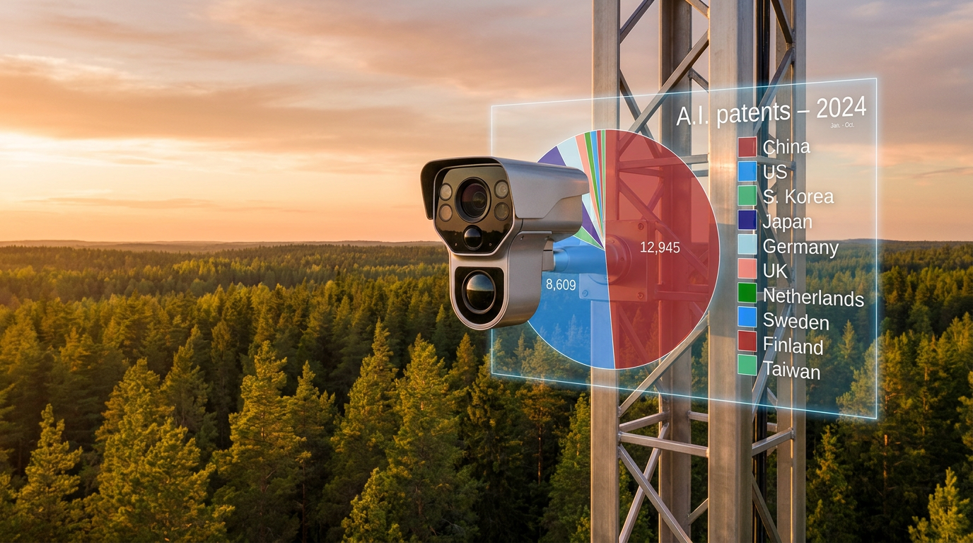
But satellites cannot see through heavy cloud cover, which is where the second layer of the detection shield comes into play: ground-based optical networks. Across the drought-stricken American West, companies like Pano AI have transformed ordinary cell towers and mountaintops into vigilant robotic lookouts. Monitoring tens of millions of acres, these networks utilize high-definition cameras that constantly sweep the landscape with 360-degree views. When clouds obscure the view from space, these terrestrial eyes provide an unbroken line of sight across the most high-risk topographies.[3][8]
The true power of these camera networks lies in the artificial intelligence analyzing the video feeds. Pano AI's computer vision algorithms are trained to spot the faintest wisps of smoke long before a human observer would notice them. When the AI detects a potential fire, it instantly cross-references the visual data with other cameras in the network to triangulate the exact GPS coordinates of the ignition point. In 2025 alone, these automated systems detected hundreds of fires before any member of the public called them in, allowing dispatchers to route helicopters and ground crews with pinpoint accuracy.[3]
Beneath the tree canopy, where neither satellites nor mountaintop cameras can penetrate, a third layer of technology is taking root. Startups like Dryad Networks are deploying thousands of solar-powered IoT sensors directly onto the trunks of trees in highly vulnerable forests. Instead of looking for light or heat, these devices are designed to "smell" a fire before it even produces a visible flame. Operating on a localized mesh network, the sensors act as an electronic olfactory system for the forest.[4]

These micro-sensors are equipped with machine learning algorithms trained to recognize the specific chemical signatures of trace gases released during the earliest stages of combustion, such as smoldering wood or melting wire insulation. Because they are situated directly in the fuel bed, they can detect an ignition event in a matter of seconds. While outfitting every forest with IoT sensors is cost-prohibitive, deploying them strategically in the wildland-urban interface—where human infrastructure meets dense vegetation—provides an ultra-early warning system that can prevent a spark from becoming a neighborhood-destroying conflagration.[4]
Beyond merely detecting fires that have already started, artificial intelligence is revolutionizing how agencies predict where they will happen next. Researchers at the University of Canterbury have developed an AI-based forecasting system that analyzes weather station data to detect the invisible atmospheric patterns that precede ignitions. While traditional fire danger indices are updated just once a day, this new machine-learning model recalculates the risk every 30 minutes. By capturing rapid shifts in wind and humidity, the system improves forecasting performance by up to 30 percent, giving agencies a dynamic map of where to pre-position their strike teams.[5]
This predictive power is also transforming how utility companies manage the grid during extreme weather. In recent years, utilities have increasingly relied on Public Safety Power Shutoffs—bluntly cutting electricity to millions of people to prevent live wires from sparking in high winds. Today, platforms like Technosylva feed real-time data on topography, fuel moisture, and infrastructure into AI models to simulate exactly how a fire would spread if a specific line were to fall. This allows utilities to execute "surgical shutoffs," de-energizing only the most critical risk zones while keeping the lights on for hospitals and surrounding communities.[8]
The rapid proliferation of these technologies, however, introduces a new challenge: integration. Emergency managers are increasingly at risk of "alert fatigue" if they have to monitor a dozen different dashboards for satellites, cameras, and sensors. To solve this, organizations like the Pacific Disaster Center are fusing these disparate data streams into unified platforms like DisasterAWARE. By combining NASA satellite telemetry with AI-enriched analytics, these platforms provide a single, coherent operational picture, transforming a chaotic flood of raw data into actionable intelligence for decision-makers.[6]

As these systems mature, the ultimate goal of the wildfire technology sector is moving from early warning to autonomous intervention. Industry analysts project that within the next decade, the most advanced systems will pair AI-driven predictive models with automated drone swarms. In this near-future scenario, a satellite or ground sensor would detect a spark, instantly calculate its trajectory, and automatically dispatch an unmanned aerial vehicle to drop retardant on the exact GPS coordinates—extinguishing the threat in under five minutes, before human crews even need to put on their boots.[4][7]
How we got here
2020
Early AI boundary tracking models are deployed by tech companies to map existing fires.
2023
Ground-based AI camera networks see massive expansion across the American West.
2024
Major investments are announced for purpose-built wildfire satellite constellations.
Early 2025
First prototypes of next-generation FireSat satellites launch into orbit.
2026
AI forecasting models begin updating fire danger indices every 30 minutes instead of daily.
Viewpoints in depth
Space-Based Innovators
Advocates for orbital monitoring argue that satellites offer the only truly global, scalable solution to wildfire detection.
Companies like OroraTech and the teams behind Google's FireSat emphasize that ground-based sensors, while effective, are inherently limited by geography and infrastructure costs. You cannot mount a camera on every tree or build a cell tower in every remote valley. By deploying dense constellations of low-Earth-orbit satellites equipped with edge-computing AI, this camp argues we can achieve continuous global coverage. Their primary focus is reducing the 'revisit time'—the gap between satellite passes—to under 20 minutes, ensuring that even the most remote wilderness ignitions are caught before they escalate.
Ground-Sensor Advocates
Proponents of terrestrial networks argue that true early warning requires sensors placed beneath the cloud cover and the forest canopy.
For companies like Pano AI and Dryad Networks, the limitation of space-based observation is simple: clouds and canopy. Satellites struggle to see through heavy weather, and by the time a fire burns hot enough to register from orbit, it may already be out of control. This camp champions a localized approach, utilizing AI-powered mountaintop cameras and IoT gas sensors to detect the literal smell of smoke or the first visual wisps of a fire. They argue that while ground networks cannot cover the entire globe, they can heavily fortify the wildland-urban interface where human lives and property are most at risk.
Emergency Managers
First responders and utility operators prioritize actionable intelligence and system integration over raw detection speed.
For the people actually dispatching fire trucks and managing power grids, the explosion of AI detection technology is both a blessing and a burden. Emergency managers warn against 'alert fatigue'—the danger of being overwhelmed by thousands of minor thermal anomalies or false positives from uncalibrated sensors. This camp stresses that detection is only half the battle; the data must be integrated into unified platforms like the Pacific Disaster Center's DisasterAWARE. Their ultimate goal is not just knowing a fire exists, but having AI instantly predict its spread path so they can execute surgical evacuations and targeted power shutoffs.
What we don't know
- How effectively these disparate systems (satellites, cameras, sensors) can be integrated into a single, universal dashboard for emergency dispatchers.
- Whether the cost of deploying dense IoT sensor networks can be brought down enough to cover vast, remote wilderness areas.
- How regulatory frameworks will adapt to allow fully autonomous drone swarms to respond to AI fire alerts without human visual confirmation.
Key terms
- End of stationarity
- The concept that historical climate baselines are no longer reliable predictors for future weather and disaster events.
- Edge computing
- Processing data directly at the source (like on a satellite or a camera) rather than sending it to a central server, drastically speeding up analysis.
- Wildland-urban interface
- The zone where human development meets or intermingles with undeveloped natural vegetation, representing the highest risk area for wildfire damage.
- Public Safety Power Shutoff
- The practice of intentionally de-energizing power lines during extreme weather to prevent electrical equipment from sparking a wildfire.
- Nanosatellite
- A small, lightweight satellite that can be deployed in large constellations for continuous, high-frequency Earth observation.
Frequently asked
Can AI really predict where a fire will start?
AI cannot predict the exact spark, but it can analyze weather, soil moisture, and historical data to identify micro-regions where conditions are perfectly primed for an ignition, updating this risk every 30 minutes.
Why can't traditional weather satellites detect these fires?
Legacy satellites often only pass over a region a few times a day and lack the resolution to see small fires. By the time they detect a thermal anomaly, the fire is usually already massive.
How do the sensors tell the difference between a campfire and a wildfire?
AI models are trained on vast datasets to differentiate thermal signatures. They factor in the size, growth rate, local weather, and proximity to infrastructure to filter out controlled burns or industrial heat sources.
Will this technology replace human firefighters?
No. These systems are designed to give human crews a head start. By detecting fires when they are still small, firefighters can extinguish them safely before they require massive, dangerous suppression efforts.
Sources
Source coverage
8 outlets
3 viewpoints surfaced


[1]Google ResearchSpace-Based Innovators
Wildfire boundary tracking and FireSat
Read on Google Research →[2]Cleantech GroupSpace-Based Innovators
One Big Beautiful Bill, 3 Sets of Bold Predictions: Our H2 2025 Outlook
Read on Cleantech Group →[3]WBURGround-Sensor Advocates
AI is watching for wildfires across the drought-stricken West
Read on WBUR →[4]Water TodayEmergency Managers & Utilities
Cleantech Group's projections for 2026 on how tech is catching wildfires before they burn
Read on Water Today →[5]University of CanterburyEmergency Managers & Utilities
AI tool predicts wildfire danger faster than current systems
Read on University of Canterbury →[6]Pacific Disaster CenterEmergency Managers & Utilities
Anticipating wildfires: New AI-enhanced risk intelligence
Read on Pacific Disaster Center →[7]Factlen Editorial Team
Synthesis by Factlen editorial team
Read on Factlen Editorial Team →[8]BUILTGround-Sensor Advocates
Utilities Use Technology to Prevent Wildfires
Read on BUILT →
Every angle. Every day.
Get environment stories with full source coverage and perspective breakdowns delivered to your inbox.