How AI and Drone Swarms Are Accelerating Humanitarian Demining
Machine learning algorithms and autonomous drone swarms are transforming landmine clearance, dramatically reducing the time, cost, and human risk required to make post-conflict zones safe.
By Factlen Editorial Team
- Humanitarian Deminers
- Focus on safety, speed, and returning land to civilian use.
- Defense Tech Innovators
- Focus on scaling autonomous swarms and improving sensor fusion.
- Academic Researchers
- Focus on algorithmic accuracy, peer review, and eliminating false positives.
What's not represented
- · Local farmers awaiting land clearance
- · Traditional manual deminers facing job transitions
Why this matters
Landmines kill or maim thousands of civilians annually and render vast tracts of agricultural land unusable, exacerbating global food insecurity. The deployment of AI and drone swarms promises to reduce the clearance time for heavily mined countries from decades to years, saving lives and restoring local economies.
Key points
- Ukraine is currently the most mined country in the world, with 144,000 square kilometers of contaminated land.
- Traditional manual demining is slow and dangerous, costing up to €3 per square meter.
- New autonomous drone swarms can survey up to 0.5 square kilometers per day, a 20-fold increase in speed.
- Machine learning algorithms have achieved over 91% accuracy in detecting hard-to-find plastic landmines.
- AI allows organizations to quickly rule out safe areas, focusing human sappers only on confirmed threat zones.
Across the globe, an estimated 100 million military munitions and explosive devices lie hidden in post-conflict zones, silently threatening civilian populations long after hostilities have ceased. The scale of the crisis has reached a historic peak in Ukraine, which is currently the most heavily mined country in the world, with approximately 144,000 square kilometers of territory contaminated by unexploded ordnance. For decades, the process of humanitarian demining has relied on a painstaking, dangerous, and labor-intensive methodology: human sappers walking inch-by-inch with metal detectors and prodding the earth by hand.[3][5]
The mathematics of manual clearance are daunting. Using traditional techniques, experts estimate it would take more than 70 years and tens of billions of dollars to fully clear Ukraine's agricultural lands. The slow pace not only leaves displaced families in limbo but also severely disrupts global food security, as vast tracts of highly productive farmland remain too dangerous to cultivate. Faced with this generational challenge, defense technology startups and academic researchers are pivoting away from manual detection, deploying artificial intelligence and autonomous drone swarms to fundamentally alter the speed and economics of mine clearance.[3]
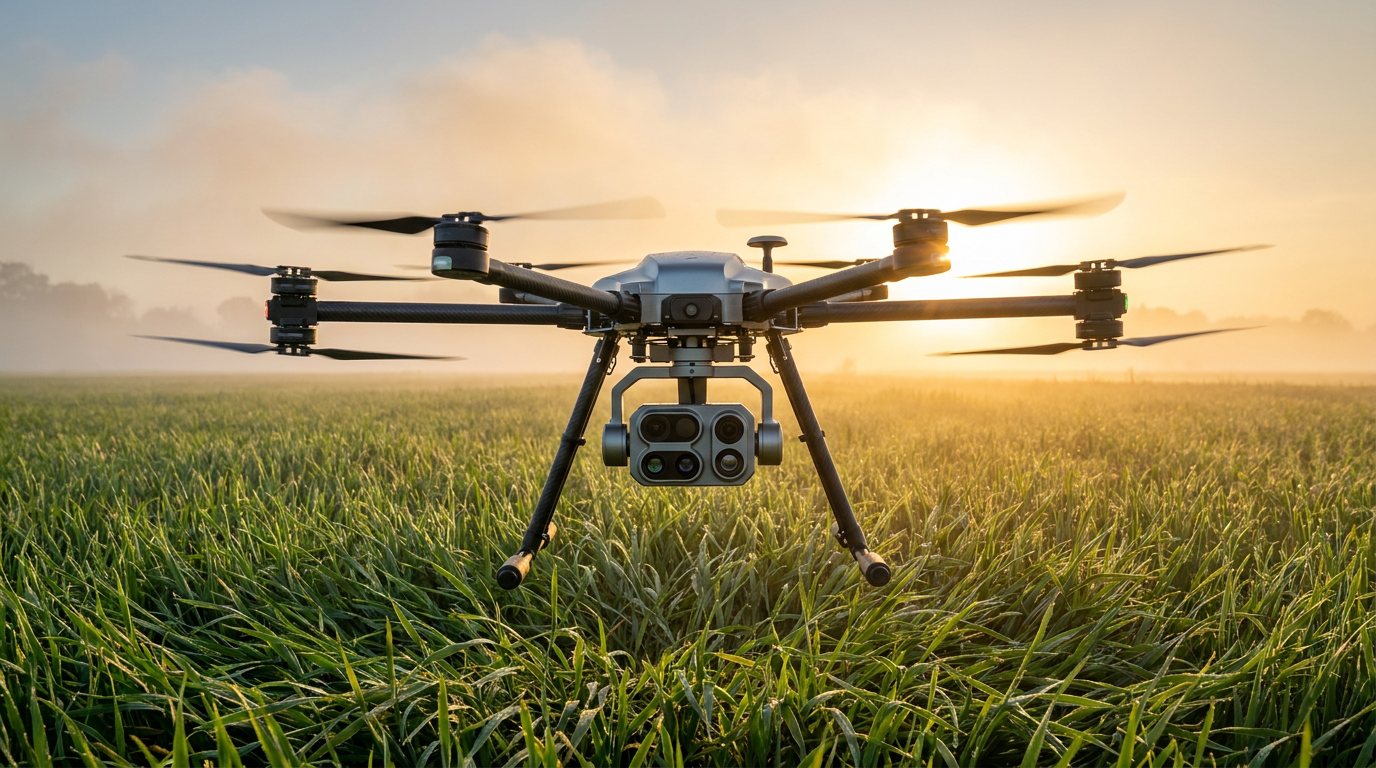
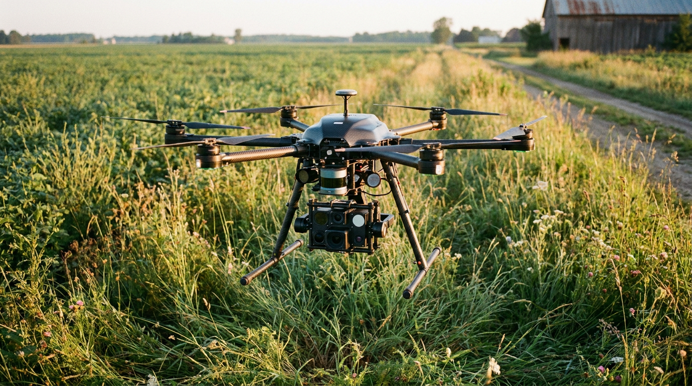
The primary breakthrough lies in replacing single-operator drones with autonomous, multi-vehicle swarms. Dropla Tech, a Danish-Ukrainian robotics startup, has developed a platform that deploys a swarm of six unmanned aerial vehicles (UAVs) simultaneously. Rather than relying on a human pilot to scan a field, the swarm flies in a coordinated grid, autonomously adjusting its flight path to ensure total coverage of the suspected hazardous area.[3]
The evidence for this swarm approach demonstrates a massive leap in operational efficiency. While a traditional human demining team might clear roughly 500 square meters in a day, Dropla's six-drone swarm can survey up to 0.5 square kilometers—or 500,000 square meters—in the same timeframe. The drones continuously beam data back to a central computer station, rapidly generating a georeferenced digital surface map that pinpoints the exact coordinates of potential threats.[3]

This exponential increase in speed directly translates to a collapse in clearance costs. Current manual demining operations cost approximately €1 to €3 to clear a single square meter of land. By automating the detection phase, developers project that the cost can be driven down to just 10 cents per square meter, potentially reducing the timeline for clearing a country like Ukraine from seven decades to just 12 years.[3]
However, speed is irrelevant without accuracy, and modern minefields present a unique detection challenge: the plastic landmine. Millions of surface-scattered munitions, such as the mass-produced Soviet PFM-1 "butterfly" mine, contain almost no metal components. These devices are virtually invisible to standard electromagnetic detectors. Because of their small size and low trigger weight, they are notoriously difficult to locate and disproportionately injure children who mistake them for toys.[5]
To solve the plastic mine problem, researchers at Binghamton University have pioneered the use of Convolutional Neural Networks (CNNs)—a class of deep learning algorithms highly effective at analyzing visual imagery. By equipping low-cost commercial drones with infrared cameras, the researchers capture the thermal signatures of the minefields at dawn or dusk, when the plastic casing of the mine heats up or cools down at a different rate than the surrounding soil.[5][6]
In early iterations, human analysts had to manually scan these thermal images to spot the mines, a process prone to eye fatigue and subjective error. By training a CNN on thousands of images of PFM-1 mines, the Binghamton team automated the detection process. In peer-reviewed field trials published in the Journal of Conventional Weapons Destruction, the machine learning workflow achieved a 91.8% success rate in detecting and classifying the plastic anti-personnel mines.[1][5]

In early iterations, human analysts had to manually scan these thermal images to spot the mines, a process prone to eye fatigue and subjective error.
"This method is a game-changer in the field," noted Alek Nikulin, an assistant professor of energy geophysics involved in the research. The CNN approach is not only vastly faster than manual counting, but it is also quantitative, reproducible, and can be generalized to detect other types of improvised explosive devices based on their distinct shapes and thermal profiles.[5][6]
Commercial startups are pushing this algorithmic accuracy even further through "sensor fusion." Broswarm, a Lithuania-based defense tech company that recently secured funding from the dual-use venture fund ScaleWolf, equips its drones with an array of overlapping instruments. By simultaneously feeding data from metal detectors, magnetometers, thermal imaging, and high-definition optical cameras into a centralized machine learning model, the system can cross-reference anomalies to confirm the presence of a mine even in complex climatic conditions.[4]
The world's largest humanitarian mine clearance organization, The HALO Trust, is already integrating these AI tools into its active operations across 30 countries. HALO's research and development teams report that AI software allows them to recognize landmines from drone imagery in a fraction of the time it would take a human operator, significantly reducing the risk to their frontline deminers.[2]

Despite the overwhelming evidence supporting AI detection, the technology carries inherent limitations. Crucially, drones only map the hazards; they do not remove them. Once a digital map is generated, human sappers or heavily armored unmanned ground vehicles must still physically enter the area to neutralize the explosives. Dropla Tech, for instance, pairs its aerial swarms with remotely operated ground preparation drones designed to withstand detonations while clearing vegetation.[3][7]
Furthermore, aerial detection requires a relatively clear line of sight. Dense forest canopies, thick underbrush, or deep mud can obscure the thermal and optical signatures required by the neural networks. In these environments, AI serves as an auxiliary tool to narrow down the search grid, but traditional ground-based methods remain necessary for final verification.[1][7]
Nevertheless, the integration of machine learning into humanitarian demining represents a paradigm shift from blind searching to targeted clearance. By using AI to definitively prove where mines are not located, organizations can rapidly release safe land back to communities without wasting weeks manually sweeping empty fields.[1][7]

As these algorithms grow more sophisticated and drone swarms become cheaper to deploy, the defense technology sector is providing a powerful new tool for post-conflict recovery. The ultimate metric of success for these systems is not just the number of mines detected, but the speed at which displaced families can return home and farmers can safely replant their fields.[2][3]
How we got here
1988
The HALO Trust is founded, establishing traditional manual humanitarian demining protocols.
2020
Binghamton University researchers publish early proof-of-concept for using drones and thermal imaging to find plastic mines.
2023
Startups like Broswarm and Dropla form to apply modern AI and swarm tactics to the massive contamination in Ukraine.
2024
Machine learning models achieve over 91% accuracy in detecting scatterable munitions in field trials.
2026
AI-assisted drone mapping becomes a standard auxiliary tool for major demining NGOs.
Viewpoints in depth
Humanitarian Deminers
Focus on safety, speed, and returning land to civilian use.
For organizations like The HALO Trust, the primary value of AI is risk reduction and area reduction. By using drones to definitively prove where mines are not located, they can avoid sending human sappers to manually sweep empty fields. Their ultimate metric of success is not technological sophistication, but the speed at which displaced families can safely return to their homes and farmers can resume cultivating crops.
Defense Tech Innovators
Focus on scaling autonomous swarms and improving sensor fusion.
Startups like Dropla and Broswarm view the demining crisis as a data and robotics challenge. They argue that traditional methods simply cannot scale to meet the contamination levels seen in modern conflicts. Their focus is on pushing the boundaries of multi-modal sensor fusion—combining thermal, magnetic, and optical data—and developing swarm software that allows multiple drones to coordinate autonomously, drastically driving down the cost per square meter.
Academic Researchers
Focus on algorithmic accuracy, peer review, and eliminating false positives.
University researchers prioritize the rigorous validation of the machine learning models. They emphasize that while speed is important, a false negative in demining is fatal. Their work focuses on refining Convolutional Neural Networks to detect notoriously difficult targets, like plastic 'butterfly' mines, and ensuring that these algorithms are quantitatively reproducible across different climates and soil types before widespread deployment.
What we don't know
- How effectively these AI models will perform in dense jungle environments like Cambodia, compared to the open agricultural fields of Ukraine.
- The exact timeline for regulatory approval to allow fully autonomous drone swarms to operate without direct human line-of-sight in civilian areas.
- Whether the cost of replacing drones lost to accidental detonations will offset the projected operational savings at scale.
Key terms
- PFM-1 'Butterfly' Mine
- A mass-produced plastic anti-personnel mine that is notoriously difficult to detect with traditional metal detectors.
- Sensor Fusion
- The integration of data from multiple sensors (e.g., thermal, magnetic, optical) to improve detection accuracy.
- Convolutional Neural Network (CNN)
- A type of artificial intelligence algorithm particularly effective at analyzing visual imagery for object detection.
- Humanitarian Demining
- The process of clearing landmines so that civilians can safely return to their homes and agricultural lands, distinct from military demining.
Frequently asked
Do the drones actually defuse the landmines?
No. The aerial drones map the exact locations of the explosives. Human sappers or specialized unmanned ground vehicles are still required to safely neutralize or detonate them.
How do drones detect plastic landmines?
They use thermal imaging cameras to detect the heat signature differences between the plastic mine and the surrounding soil at dawn or dusk, which AI then analyzes.
Why are drone swarms better than single drones?
Swarms can cover vastly larger areas simultaneously and share data in real-time, reducing the survey time for a region from years to months.
Sources
Source coverage
7 outlets
3 viewpoints surfaced


[1]Journal of Conventional Weapons DestructionAcademic Researchers
UAS and Deep Learning Algorithms for Scatterable Landmine Detection
Read on Journal of Conventional Weapons Destruction →[2]The HALO TrustHumanitarian Deminers
Technology and Innovation in Mine Clearance
Read on The HALO Trust →[3]MilitarnyiDefense Tech Innovators
Danish-Ukrainian Startup Develops Drones Swarm for Demining
Read on Militarnyi →[4]The Odessa JournalDefense Tech Innovators
Lithuanian startup Broswarm attracts $100,000 to create mine-detecting drones for Ukraine
Read on The Odessa Journal →[5]TechBriefsAcademic Researchers
Automated Detection of Landmines Using Drones and Machine Learning
Read on TechBriefs →[6]The Robot ReportAcademic Researchers
Machine learning, drones detect butterfly landmines
Read on The Robot Report →[7]Factlen Editorial Team
Synthesis by Factlen editorial team
Read on Factlen Editorial Team →
Every angle. Every day.
Get defense security stories with full source coverage and perspective breakdowns delivered to your inbox.