How a Global Army of Volunteers is Mapping the World's Most Vulnerable Places
When commercial maps fall short, hundreds of thousands of digital volunteers trace satellite imagery to guide first responders and build climate resilience.
By Factlen Editorial Team
- Humanitarian Responders
- Prioritize rapid, open access to geographic data to coordinate emergency aid and navigate disaster zones.
- Local Community Mappers
- Focus on data sovereignty, using mapping tools to build local climate resilience and empower residents.
- Geospatial Researchers
- Analyze the long-term sustainability of the map, advocating for data equity and the reduction of Global North biases.
What's not represented
- · Commercial mapping providers
- · Local government surveying agencies
Why this matters
Accurate geographic data is the invisible backbone of disaster response. By crowdsourcing maps of the world's most vulnerable regions, this open-source movement ensures that aid workers can locate and rescue populations that commercial maps have entirely overlooked.
Key points
- The Humanitarian OpenStreetMap Team (HOT) mobilizes volunteers to map vulnerable regions, filling critical data gaps left by commercial mapping platforms.
- During the 2023 Turkey-Syria earthquake, over 9,000 volunteers digitized 2.2 million buildings to guide medical teams and first responders.
- The mapping process combines remote satellite tracing by global volunteers with on-the-ground verification by local residents.
- Beyond disaster response, communities use open-source maps to plan wildfire evacuations, track disease outbreaks, and build climate resilience.
When we open a map app on our phones, we expect to see every street, restaurant, and building neatly labeled. But for hundreds of millions of people living in the Global South, commercial maps are often blank. Entire cities, rural villages, and road networks simply do not exist on the digital platforms that power modern navigation.[4]
This data void is more than an inconvenience; in times of crisis, it is a matter of life and death. When an earthquake strikes or floodwaters rise, first responders cannot deliver aid, route ambulances, or estimate casualties if they do not know where the buildings are or how many people live in them.[3][9]
Enter the Humanitarian OpenStreetMap Team (HOT) and the global OpenStreetMap (OSM) community. Often described as the "Wikipedia of maps," OSM is a free, open-source geographic database maintained by volunteers worldwide.[3][6]
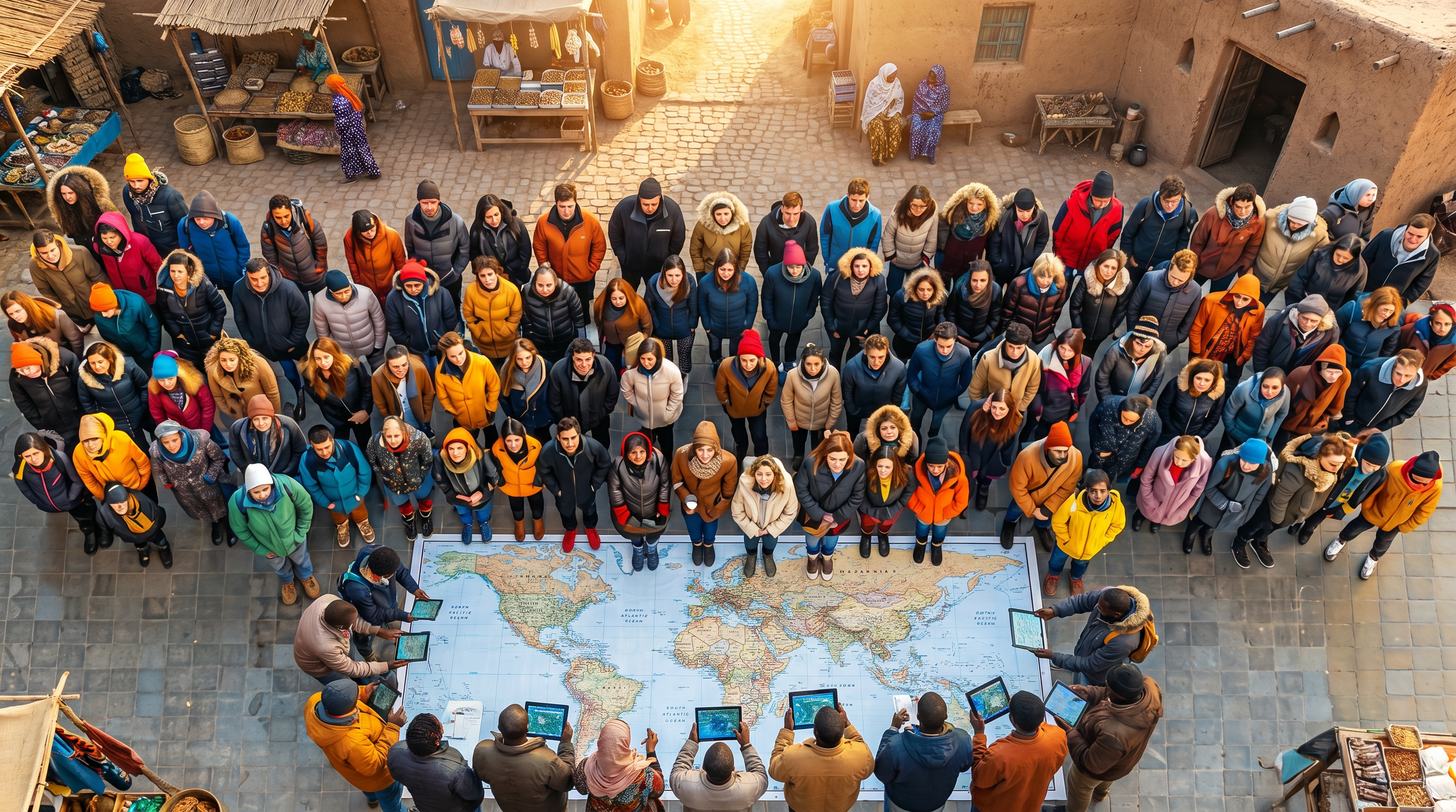
Over the past decade, this decentralized network has become the backbone of global disaster response. By mobilizing hundreds of thousands of digital volunteers, the community transforms blank spaces into highly detailed, interactive maps that humanitarian organizations rely on to save lives.[2][10]

The mechanism behind this massive crowdsourcing effort is both simple and highly orchestrated. When a disaster occurs, HOT issues an "activation." Volunteers log into a centralized tasking manager, select a small grid square of the affected area, and use recent satellite imagery to trace the outlines of buildings, roads, and waterways.[2][4]
This remote tracing creates the foundational basemap. Once the physical infrastructure is digitized, local volunteers on the ground use mobile apps to add critical context—identifying which buildings are schools, hospitals, or residential homes, and noting which roads are blocked by debris.[4][7]
The concept of deploying open-source mapping for humanitarian aid was first proven during the devastating 2010 earthquake in Haiti. Within hours of the quake, volunteers began tracing satellite imagery of Port-au-Prince. In just three weeks, the community produced the most detailed map of Haiti in existence, which quickly became the default tool for the UN, the World Bank, and search-and-rescue teams.[3][9]
Since then, the scale and speed of the community have grown exponentially. When a 7.8 magnitude earthquake struck Turkey and Syria in February 2023, the response was unprecedented. More than 9,000 volunteers mobilized, mapping over 2.2 million buildings and 80,000 kilometers of roads in the affected regions.[2][10]

Since then, the scale and speed of the community have grown exponentially.
This rapid digitization allowed surgeons and public health officials to navigate devastated areas, locate temporary displacement camps, and deliver targeted medical care. The resulting map became the most downloaded dataset on the Humanitarian Data Exchange that year.[10]
But the community's work extends far beyond reactive disaster response; increasingly, the focus is on proactive climate resilience and public health. During the 2014 Ebola outbreak in West Africa, volunteers mapped remote villages to help epidemiologists track the spread of the virus.[3]
In Timor-Leste, local youth are using OSM to map flood-prone zones, evacuation routes, and shelters. By digitizing this infrastructure before the monsoon season, communities can develop early warning systems and execute highly coordinated evacuation plans.[7]
Similarly, in Córdoba, Argentina, residents use community-generated maps to run large-scale wildfire drills, calculating the likely direction of fires and identifying which households are most at risk.[4]
The philosophy driving these efforts is encapsulated by the "Missing Maps" initiative, a collaborative project founded by HOT, the Red Cross, and Doctors Without Borders. As the founders note, mapping a building is a proxy for mapping people. Putting a structure on a map serves as a short circuit for years of non-investment into data, making invisible populations visible to aid agencies and governments.[3]
The sheer volume of this human-powered data engine is staggering. In the 2023-2024 period alone, 685,000 OpenStreetMap volunteers mapped areas home to 915 million at-risk people. The organization is currently closing in on an ambitious goal: mapping regions home to one billion people across 94 priority countries by 2026.[5]

Despite these triumphs, significant challenges remain. Researchers analyzing the spatial footprint of OSM note a persistent data inequality. While humanitarian mapping has added tens of millions of buildings to the map, regions with low and medium human development still account for a disproportionately small percentage of global map data compared to their populations.[8]
Furthermore, maintaining accurate maps in active conflict zones, such as Sudan, is notoriously difficult. Rapid environmental changes, destroyed infrastructure, and limited ground access mean that satellite-traced maps can quickly become outdated, requiring constant vigilance and updates from the community.[11]
To address these structural barriers, the movement is shifting toward a model of local empowerment. Rather than relying solely on remote volunteers in the Global North, HOT now distributes micro-grants to local organizations in over 30 countries.[4]

By training local residents, students, and community leaders to use open-source mapping tools, the initiative ensures that the data is not only accurate but owned and maintained by the people who live there.[7][9]
Ultimately, the OpenStreetMap community represents a profound shift in how the world prepares for and responds to crises. It proves that with open data, accessible tools, and a shared sense of purpose, ordinary citizens can build the infrastructure necessary to protect the most vulnerable among us.[1][2][10]
How we got here
Jan 2010
Volunteers map Port-au-Prince in three weeks following the devastating Haiti earthquake, proving the concept of crowdsourced humanitarian mapping.
2014
The Missing Maps project is launched to proactively map vulnerable regions before crises occur.
2014-2015
OSM volunteers map remote West African villages to help epidemiologists track and contain the Ebola outbreak.
Feb 2023
Over 9,000 volunteers map 2.2 million buildings in Turkey and Syria following a 7.8 magnitude earthquake.
2024
HOT announces its community has mapped areas home to 915 million people, nearing its 1 billion goal.
Viewpoints in depth
Humanitarian Responders
Prioritize rapid, open access to geographic data to coordinate emergency aid and navigate disaster zones.
For aid organizations like the Red Cross and Doctors Without Borders, a map is a prerequisite for action. Responders argue that commercial mapping platforms are fundamentally misaligned with humanitarian needs, as they prioritize economically lucrative areas and often restrict data behind paywalls. OpenStreetMap provides a critical alternative: a freely downloadable, offline-capable database that allows logisticians to route ambulances around collapsed bridges and epidemiologists to track disease vectors in unmapped villages.
Local Community Mappers
Focus on data sovereignty, using mapping tools to build local climate resilience and empower residents.
Grassroots organizers emphasize that mapping should not just be an extractive process performed by remote volunteers during a crisis. Instead, they view open mapping as a tool for community empowerment. By training local youth and community leaders to digitize their own neighborhoods, these groups build proactive climate resilience. Local mappers argue that they are best positioned to identify flood zones, designate evacuation routes, and ensure that the digital representation of their home reflects ground truth.
Geospatial Researchers
Analyze the long-term sustainability of the map, advocating for data equity and the reduction of Global North biases.
Academics and data scientists studying the OpenStreetMap ecosystem point out structural inequalities within the database. They note that while humanitarian activations generate massive spikes in data for the Global South, the baseline map remains heavily biased toward the Global North. Researchers advocate for rethinking project designs to ensure long-term sustainability, urging the community to transition from reactive, post-disaster mapping to continuous, locally-led data maintenance.
What we don't know
- How the rapid proliferation of AI-generated mapping and automated feature extraction will alter the role of human volunteers in the coming years.
- Whether long-term funding models can successfully shift the balance of mapping power from remote international volunteers to sustained, locally-led community organizations.
Key terms
- OpenStreetMap (OSM)
- A free, open-source geographic database maintained by a global community of volunteers, often called the 'Wikipedia of maps'.
- Basemap
- A foundational map showing basic geographic features like roads and buildings, upon which additional data layers can be added.
- Tasking Manager
- A coordination tool that divides a large disaster zone into small grid squares, allowing thousands of remote volunteers to map simultaneously without overlapping.
- Missing Maps
- A collaborative initiative aiming to proactively map the world's most vulnerable communities before disasters strike.
- Humanitarian Data Exchange
- An open platform for sharing data across crises and organizations, ensuring first responders have access to the latest information.
Frequently asked
Why don't humanitarian groups just use Google Maps?
Commercial maps often lack detailed data for rural or impoverished areas in the Global South. OpenStreetMap allows anyone to add missing buildings and roads, and the data can be freely downloaded and used offline by aid workers.
How do remote volunteers know what they are mapping?
Volunteers use high-resolution satellite imagery to trace the physical outlines of buildings and roads. Local residents then use mobile apps to add specific details, like whether a building is a hospital or a home.
Is the data accurate if anyone can edit it?
Yes. The community uses a peer-validation system where experienced mappers review the work of newcomers. Studies have shown OSM data in disaster zones is highly accurate and often more detailed than official government maps.
Can I help map these areas?
Absolutely. Anyone with a computer and internet connection can join the Humanitarian OpenStreetMap Team, take a brief tutorial, and start tracing satellite imagery for active disaster zones.
Sources
Source coverage
11 outlets
3 viewpoints surfaced


[1]Factlen Editorial Team
Synthesis by Factlen editorial team
Read on Factlen Editorial Team →[2]Geo Week NewsHumanitarian Responders
How the Humanitarian OpenStreetMap Team uses open data for disaster response
Read on Geo Week News →[3]PreventionWeb
The Missing Maps project aims to map the most vulnerable places in the world
Read on PreventionWeb →[4]Pioneers PostLocal Community Mappers
Mapping a fairer future: The open-source movement that's mobilising for climate resilience
Read on Pioneers Post →[5]All Things Open
Humanitarian OpenStreetMap Team 2024 impact report: Closing in on our 1 billion people goal
Read on All Things Open →[6]OpenStreetMap US
Mapping for Community Resiliency
Read on OpenStreetMap US →[7]GIS Timor-LesteLocal Community Mappers
Why OpenStreetMap Matters for Disaster Management in Timor-Leste
Read on GIS Timor-Leste →[8]HeiGITGeospatial Researchers
The evolution of humanitarian mapping within the OpenStreetMap community
Read on HeiGIT →[9]World Economic ForumHumanitarian Responders
How open data can help us prepare for disasters
Read on World Economic Forum →[10]VirginHumanitarian Responders
How open mapping is saving lives in disaster zones
Read on Virgin →[11]GeoversityGeospatial Researchers
OpenStreetMap in Sudan: Filling Data Gaps in Conflict Zones
Read on Geoversity →

Every angle. Every day.
Get community stories with full source coverage and perspective breakdowns delivered to your inbox.