
How Article IV of the Antarctic Treaty Freezes Overlapping Territorial Claims South of 60°S
The 1959 diplomatic agreement prevents seven nations from expanding their historical borders, allowing rival research stations to operate side-by-side. By banning new sovereignty demands, the treaty also preserves Marie Byrd Land as the largest unclaimed territory on Earth.

In short
- Article IV of the 1959 Antarctic Treaty freezes seven historical territorial claims, preventing nations from using modern activities to strengthen their sovereignty demands.
- The diplomatic freeze allows rival nations to operate research stations side-by-side in heavily disputed areas like the Antarctic Peninsula without triggering military conflict.
- Because the treaty bans new claims, the 1.61-million-square-kilometer Marie Byrd Land remains the largest entirely unclaimed territory on Earth.
The 29 Consultative Parties to the Antarctic Treaty govern a continent of 14 million square kilometers, holding the exclusive power to regulate human activity at the bottom of the world. They operate under a strict consensus model, meaning any single voting nation can veto a change to the rules, and they will not have a formal mechanism to review the treaty's environmental protocols until 2048.[1][5]
Until then, the legal architecture of Antarctica rests entirely on a single diplomatic compromise drafted at the height of the Cold War in 1959. Article IV of the Antarctic Treaty does not erase the seven historical claims to the continent, nor does it validate them. Instead, it freezes them in place, barring any nation from using current activities to strengthen their sovereignty demands.[1][2]
“No acts or activities taking place while the present Treaty is in force shall constitute a basis for asserting, supporting or denying a claim to territorial sovereignty,” the text of Article IV reads. This single sentence prevents the construction of research bases, the deployment of personnel, or the mapping of terrain from functioning as a legal land grab.[1]
The mechanism applies to all land and ice shelves south of 60 degrees South latitude. By separating the day-to-day administration of the continent from the ultimate question of who owns it, the treaty allows claimant states and non-claimant states to operate side-by-side without triggering a border war.[1][2]
The Seven Frozen Claims
Seven nations—Argentina, Australia, Chile, France, New Zealand, Norway, and the United Kingdom—asserted formal territorial rights over parts of Antarctica before the treaty was signed. These claims are shaped like massive pie slices radiating outward from the South Pole to the coast, a cartographic method known as the sector principle.[2][4]
Australia holds the largest of these frozen territories by a significant margin. The Australian Antarctic Territory covers 5.9 million square kilometers, accounting for roughly 42 percent of the entire continent. Britain formally transferred authority over this vast expanse to Australia in 1933 following early 20th-century expeditions led by Douglas Mawson.[2]
France claims a much smaller slice called Adélie Land, a 432,000-square-kilometer wedge based on the 1840 discoveries of explorer Jules Dumont d'Urville. Because the treaty protects these historical assertions, France and Australia continue to administer their respective sectors domestically, issuing local laws and postage stamps even though most of the world ignores their borders.[2]
Norway's claim is unique because it includes both a traditional sector, Queen Maud Land, and a separate volcanic outpost called Peter I Island. Sighted by a Russian captain in 1821 but claimed by Norway in 1931, the 60-square-mile island is the only territorial assertion in Antarctica that is not shaped like a wedge.[2]
The legal effect is to preserve incompatible sovereignty positions while preventing later conduct in Antarctica from altering them. This deliberate ambiguity allows the United States and Russia, which recognize no claims but reserve the right to make their own, to build bases anywhere on the ice without asking another nation for permission.[5]
The Peninsula Overlap
The freezing mechanism of Article IV is most critical on the Antarctic Peninsula, where the territorial demands of three different nations physically collide. Argentina, Chile, and the United Kingdom all claim overlapping sectors of this northernmost stretch of the continent, driven by its relative proximity to South America and historical maritime trade routes.[2][4]
Argentina's asserted sector spans 1.5 million square kilometers, while Chile claims roughly 1.25 million square kilometers. Both South American nations base their positions on geographic continuity and their inheritance of the Spanish Empire's historical rights, placing them in direct, unresolved conflict with the British Antarctic Territory.[2][4]
Before the 1959 treaty, this three-way overlap generated genuine military friction. In 1952, Argentine forces fired warning shots at a British party attempting to rebuild a meteorological facility at Hope Bay, marking the most serious territorial confrontation in the continent's history and accelerating the push for a diplomatic solution.[2]
Article IV defused this flashpoint by ensuring that no nation had to surrender its national pride or its legal position. Because the treaty dictates that no new activity can enhance a claim, the three nations now operate research stations in close proximity without their daily presence constituting an act of territorial aggression.[1][5]
The Unclaimed Expanse
While the peninsula suffers from a surplus of sovereignty claims, a massive stretch of West Antarctica suffers from a total absence of them. Marie Byrd Land, a desolate expanse of ice and volcanic peaks, spans 1.61 million square kilometers and remains entirely unclaimed by any sovereign state.[2][3]
Named after the wife of American naval officer Richard E. Byrd, who explored the region extensively in the 1930s, the territory is the largest terra nullius left on Earth. The United States deferred making a formal claim to the area for political reasons prior to the treaty, and Article IV now explicitly prohibits any new claims from being made.[2][3]
The sheer logistics of reaching Marie Byrd Land contribute heavily to its unclaimed status. The region's coastline borders the remote South Pacific Ocean rather than offering an easy transit route from another continent, making it exceptionally difficult to supply an outpost or maintain a permanent human presence.[3]
Today, the United States operates research facilities in the region, but under the strict rules of the treaty, this scientific presence generates no property rights. The frozen legal landscape ensures that Marie Byrd Land will remain international space as long as the current diplomatic architecture holds.[1][5]
Maritime Rights And Economic Zones
While Article IV successfully froze claims to the land, the surrounding Southern Ocean presents a more complicated legal frontier. Under the United Nations Convention on the Law of the Sea, coastal states have the right to claim Exclusive Economic Zones extending 200 nautical miles from their shores.[2]
Australia and Argentina have both attempted to claim economic zones as maritime extensions of their frozen Antarctic territories. They argue that defining a maritime boundary is an inherent right of their existing historical claims, rather than a new claim that would be prohibited by the text of Article IV.[2]
The international community overwhelmingly rejects this interpretation. Most nations argue that because the underlying sovereignty of the coastal land is not universally recognized, no nation has the legal authority to enclose the adjacent waters or claim exclusive rights to the marine resources hidden beneath the ice.[2]
To manage the waters without resolving the sovereignty dispute, the treaty parties created the Convention on the Conservation of Antarctic Marine Living Resources in 1982. This parallel agreement regulates fishing and ecosystem protection in the Southern Ocean, bypassing the maritime boundary debate entirely by managing the waters collectively.[4]
The 2048 Review Horizon
The Antarctic Treaty itself has no expiration date, meaning Article IV will continue to govern the continent indefinitely unless the Consultative Parties actively choose to dismantle it. However, a specific provision within the 1991 Madrid Protocol allows for a review conference to be called at any point after 2048.[2][4]
The Madrid Protocol is the environmental pillar of the treaty system, explicitly designating Antarctica as a natural reserve devoted to peace and science, while banning all mineral resource extraction. If a review conference is convened in 2048, the mining ban could theoretically be lifted, fundamentally altering the continent's economic value.[4]
Any modifications to the treaty or its protocols would still require the agreement of 75 percent of the Consultative Parties. This exceptionally high threshold makes it difficult for any single nation to unilaterally unfreeze the territorial claims or open the continent to commercial exploitation.[2]
Article IV puts aside all territorial sovereignty claims, neither recognizing nor rejecting them, thereby preventing conflict over land ownership. The durability of the agreement relies entirely on the continued voluntary compliance of the world's major powers, as there is no standing military force to police the ice.[4]
Article IV puts aside all territorial sovereignty claims, neither recognizing nor rejecting them, thereby preventing conflict over land ownership.
For now, the 60th parallel south remains a hard boundary where the normal rules of global geopolitics cease to apply. By agreeing to disagree about who owns the ice, the international community has managed to keep a continent the size of the United States and Mexico entirely demilitarized for more than six decades.[1][5]
How we did this
- Method
- Deriving the ratio of the largest asserted national territory to the continent's only unclaimed sector by comparing the Australian Antarctic Territory's footprint against Marie Byrd Land.
- What we found
- Australia's frozen territorial claim is 3.6 times larger than the entirety of Marie Byrd Land, meaning the single largest asserted sovereignty covers nearly four times as much ground as the world's largest remaining terra nullius.
- What we worked from
- Australian Antarctic Territory area: 5.9 million sq km — Wikipedia
- Marie Byrd Land area: 1.61 million sq km — Britannica
- Limits of this analysis
- This ratio compares a legally frozen historical claim against an unclaimed expanse, neither of which functions as a recognized sovereign border under current international law.
Definitions
- Article IV
- The specific provision of the 1959 Antarctic Treaty that freezes all territorial claims, preventing nations from asserting new sovereignty or expanding existing ones.
- Terra nullius
- A Latin legal term meaning 'nobody's land,' used to describe territory that has never been subject to the sovereignty of any state, such as Marie Byrd Land.
- Consultative Parties
- The group of nations that conduct substantial scientific research in Antarctica and hold voting rights to govern the continent under the treaty system.
- Sector principle
- A cartographic method of claiming polar territory by drawing lines from a coastal boundary directly inward to the pole, creating a wedge-shaped claim.
- Exclusive Economic Zone (EEZ)
- A maritime area extending 200 nautical miles from a country's coast where it holds special rights to marine resources, a concept heavily disputed in Antarctic waters.
Questions & answers
Can a private citizen or billionaire buy land in Antarctica?
No. Because the Antarctic Treaty freezes all national sovereignty claims, no government has the universally recognized legal authority to sell land or issue private property deeds on the continent.
Why didn't the United States or Russia claim any Antarctic territory?
Both nations conducted extensive early exploration but chose to reserve their 'basis of claim' rather than draw borders. This allows them to operate freely across the entire continent without recognizing the borders drawn by other countries.
What happens to the territorial claims if the Antarctic Treaty expires?
The treaty has no expiration date, but if the diplomatic system were to collapse, the frozen historical claims would immediately reactivate, likely triggering severe geopolitical conflicts over the continent's land and resources.
Is it legal to mine for minerals or drill for oil in Antarctica?
No. The 1991 Madrid Protocol strictly bans all mineral resource extraction in Antarctica, designating the continent as a natural reserve devoted exclusively to peace and science.
Analysis by camp
Claimant States
Nations that assert historical sovereignty over specific Antarctic sectors.
Countries like Australia, Argentina, and France maintain that their historical discoveries and continuous administration give them legitimate sovereign rights over their respective wedges. While they comply with Article IV's freeze, they continue to issue local laws, map their territories, and position themselves to enforce their borders if the treaty system ever collapses.
Non-Claimant Superpowers
Nations that reject all borders to maintain continent-wide access.
The United States and Russia refuse to recognize any of the seven historical claims, arguing that sovereignty requires a permanent civilian population. By relying on Article IV's protection of their 'basis of claim,' these superpowers ensure they can build research stations and project influence anywhere on the ice without asking another nation for permission.
Global Commons Advocates
Legal scholars and developing nations arguing Antarctica belongs to humanity.
A growing legal movement argues that Antarctica should be formally designated as the 'common heritage of mankind,' similar to the deep ocean floor. This perspective rejects both the historical claims and the exclusive governance of the Consultative Parties, arguing that the continent's resources and administration should be shared equally by all nations, not just those wealthy enough to build research bases.
- Claimant States
- Nations that assert historical sovereignty over specific Antarctic sectors.
- Non-Claimant Superpowers
- Nations that reject all borders to maintain continent-wide access.
- Treaty Administrators
- Organizations focused on maintaining the diplomatic freeze and scientific cooperation.
Perspectives this story doesn't cover
- Indigenous peoples of the Southern Hemisphere
- Commercial resource extraction companies
Sources
Source coverage
6 outlets
3 viewpoints surfaced



- [1]Secretariat of the Antarctic TreatyTreaty Administrators
The Antarctic Treaty
Read on Secretariat of the Antarctic Treaty → - [2]WikipediaClaimant States
Antarctic Treaty System
Read on Wikipedia → - [3]BritannicaTreaty Administrators
Marie Byrd Land
Read on Britannica → - [4]British Antarctic SurveyClaimant States
The Antarctic Treaty
Read on British Antarctic Survey → - [5]U.S. Department of StateNon-Claimant Superpowers
The Antarctic Treaty
Read on U.S. Department of State → - [6]Factlen Editorial TeamTreaty Administrators
Synthesis by Factlen editorial team
Read on Factlen Editorial Team →
More in World
See all →Caribbean Security
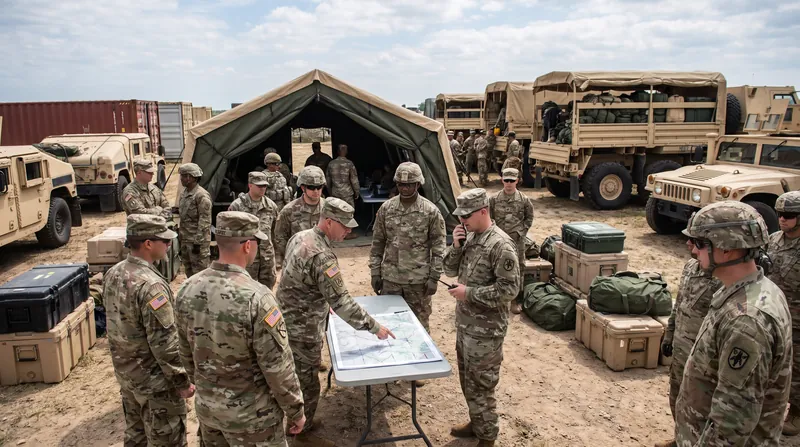
US Army Reserve Assesses Readiness of Six Units for Potential Cuba Operation
3 sources
US-Canada Relations
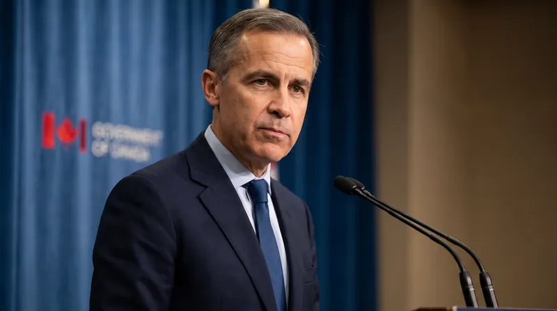
Canadian Prime Minister Mark Carney Acknowledges Government Studied Risk of US Military Action
6 sources
Global Development
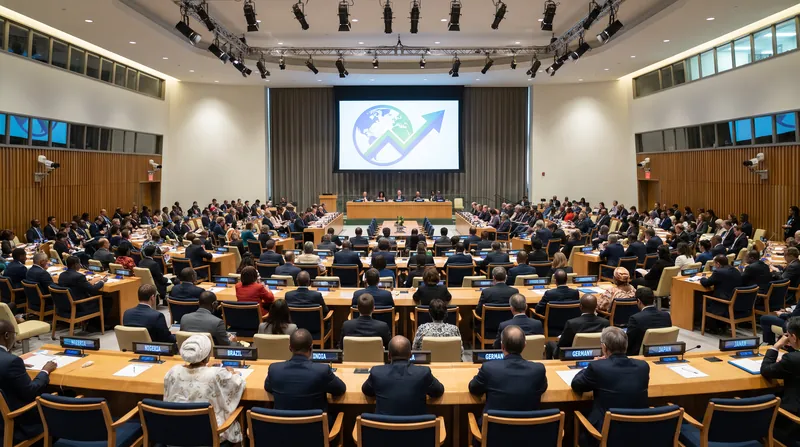
The $1,230 GNI Per Capita Threshold and the Human Assets Index/Economic Vulnerability Index Criteria: How the UN Defines Least Developed Country Status
7 sources
AI Military Integration
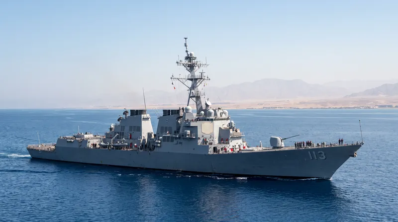
Faulty AI Intelligence Report Nearly Sparked US-China Maritime Clash in Middle East
6 sources
Comments
Every angle. Every day.
Get World stories with full source coverage and perspective breakdowns, free every day.