
How AI, Lasers, and Crowdsourcing Are Making Flights Smoother
As clear-air turbulence increases, the aviation industry is deploying advanced technologies—from real-time data sharing to forward-looking LIDAR—to detect invisible rough air before planes hit it.
By Lan Xu

For decades, commercial aviation has relied on a mix of weather radar and pilot reports to navigate the bumpy skies. When a flight crew encounters rough air, they radio air traffic control, who then warns other planes in the vicinity. But as the skies grow busier and the atmosphere changes, this reactive approach is undergoing a massive, high-tech transformation.
The catalyst for this shift is a phenomenon known as Clear Air Turbulence (CAT). Unlike the turbulence associated with massive thunderstorm clouds, CAT occurs in perfectly clear skies, typically at cruising altitudes between 30,000 and 40,000 feet. It is caused by sudden, strong changes in wind speed and direction, often at the edges of high-altitude jet streams.
Because CAT contains no water vapor, it is completely invisible to the traditional weather radar systems equipped on modern airliners. Pilots have historically had no visual or instrumental warning before hitting these invisible pockets of rough air, making it the leading cause of in-flight injuries to passengers and crew.
The urgency to solve this invisible threat has intensified. Recent climatological studies indicate that warming global temperatures are strengthening jet streams, making the atmosphere more volatile. Research from the University of Reading found that severe clear-air turbulence over the North Atlantic increased by 55% between 1979 and 2020.
In response, the aviation industry is not simply bracing for impact. Instead, a coalition of airlines, tech startups, and aerospace giants are deploying a layered defense of artificial intelligence, crowdsourced data, and laser technology to illuminate the invisible.[1]
The most immediate breakthrough is the concept of "swarm intelligence" in the skies, spearheaded by the International Air Transport Association (IATA). Their Turbulence Aware program transforms commercial aircraft into a global network of flying weather sensors.[2]
Modern aircraft are equipped with highly sensitive accelerometers that can objectively measure the intensity of air disturbances, calculating a standardized metric known as the Eddy Dissipation Rate. Through the IATA platform, this data is anonymized and beamed to a central database in real-time.[2]
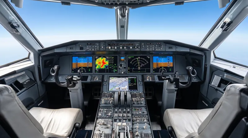
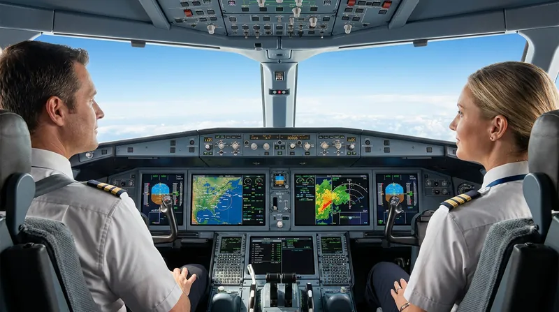
Instead of relying on subjective radio calls from other pilots, flight crews now see color-coded turbulence data directly on their cockpit navigation maps. The system has seen rapid adoption; by mid-2026, major carriers including Lufthansa, Emirates, and Aeromexico had integrated the technology, pushing daily flight reports in regions like Latin America past 3,200.[1][2]
"Timely turbulence data helps airlines improve safety and passenger comfort," noted Peter Cerda, IATA's Regional Vice President for the Americas. Every new airline that joins the network exponentially increases the resolution of this live atmospheric map, allowing pilots to request altitude changes before they ever reach the turbulent zone.
Complementing this live data are advanced artificial intelligence platforms like SkyPath. While IATA's system maps turbulence as it happens, AI tools attempt to predict where it will form next.
These machine learning algorithms ingest over 100 different meteorological parameters—from temperature gradients to jet stream overcasting—and update their models every hour. By comparing these massive datasets against the live sensor readings from aircraft, the AI can forecast clear-air turbulence with unprecedented accuracy, sending alerts directly to pilots' electronic flight bags.[1]
Yet, the ultimate holy grail of turbulence avoidance is a technology that allows an individual aircraft to "see" the invisible air ahead of it: LIDAR.
Light Detection and Ranging (LIDAR) operates on similar principles to radar, but uses focused laser pulses instead of radio waves. By emitting a laser beam forward from the aircraft, the system bounces light off microscopic dust and aerosols suspended in the high-altitude air.
As these particles are thrown around by turbulent wind shear, the returning light waves shift slightly—a phenomenon known as the Doppler effect. The onboard computer analyzes this wavelength variation to paint a real-time, 3D picture of the airflow up to 20 miles ahead of the plane.
Aerospace engineers at Boeing and the Japan Aerospace Exploration Agency (JAXA) have been testing long-range LIDAR systems on commercial airframes as part of the ecoDemonstrator program. In simulator demonstrations, the data translates into a color-coded screen for pilots, where red indicates severe air disturbances, giving them crucial minutes to secure the cabin or alter their flight path.
The primary hurdle for LIDAR has been the physics of the upper atmosphere. At 35,000 feet, the air is incredibly thin, meaning there are fewer aerosols for the lasers to bounce off. Compensating for this requires powerful, heavy laser units that demand significant processing power, which has historically been difficult to integrate into commercial fleets.
However, rapid advancements in miniaturized laser sources and efficient detector arrays are shrinking these systems. Industry analysts project that Airborne Doppler Wind LIDAR systems could achieve commercial certification for manned aviation by the end of the decade, potentially reducing turbulence-related incident costs by $50 million annually.
Until lasers become standard equipment, airlines are relying on their multi-layered digital defenses. By combining AI forecasting, real-time crowdsourced sensor data, and enhanced cockpit communication, carriers are shifting from a reactive posture to a proactive one.[1]
For passengers, the message from the aviation industry is clear: while the atmosphere may be growing more dynamic, the technology designed to navigate it is evolving even faster. The skies of the future will be mapped, measured, and ultimately, much smoother.
Key points
- Clear Air Turbulence (CAT) is invisible to traditional weather radar because it lacks water vapor.
- Climate change is strengthening jet streams, leading to a measurable increase in CAT frequency.
- Airlines are using 'swarm intelligence' to share real-time turbulence data across thousands of flights.
- AI platforms now analyze over 100 meteorological parameters to predict rough air before it happens.
What we don’t know
- Exactly when LIDAR systems will become small and power-efficient enough to be standard equipment on all commercial flights.
- How rapidly climate change will continue to alter the behavior and location of high-altitude jet streams in the coming decades.
How we got here
2010
Boeing and JAXA begin collaborating on integrating LIDAR technology into commercial airplanes.
2018
IATA launches the Turbulence Aware program to crowdsource real-time turbulence data.
2023
Studies confirm severe clear-air turbulence over the North Atlantic increased by 55% between 1979 and 2020.
2024
A severe CAT incident on a Singapore Airlines flight accelerates industry demand for advanced detection tools.
2025–2026
Major carriers including Emirates, Lufthansa, and Aeromexico integrate IATA Turbulence Aware and AI tools into their daily operations.
2029 (Projected)
Expected certification of Airborne Doppler Wind LIDAR systems for commercial manned aviation.
- Airline Operations
- Carriers and industry groups prioritizing immediate data-sharing and fleet-wide integration.
- Aviation Technologists
- Engineers and developers focused on hardware and software solutions to detect turbulence.
- Aviation Safety Experts
- Researchers analyzing atmospheric changes and advocating for layered safety protocols.
Perspectives this story doesn't cover
- Flight Attendants
- Air Traffic Controllers
Sources
Source coverage
2 outlets
3 viewpoints surfaced


- [1]AeroMorningAirline Operations
Emirates reduces unexpected severe turbulence with new initiatives
Read on AeroMorning → - [2]Future Travel ExperienceAirline Operations
Lufthansa introduces IATA Turbulence Aware technology to enhance safety and passenger comfort
Read on Future Travel Experience →
More in Travel
See all →Aviation Economics
The Mechanics of the Global Fuel Crisis: How Doubled Jet Fuel Prices Are Forcing Airlines to Hike Fares and Cut Service
3 sources
Typhoon Preparedness
The Mechanics of Coastal Evacuation: How China and Taiwan Are Securing Tourist Sites Ahead of Super Typhoon Bavi
2 sources

Aviation Security
ICAO Adopts Sweeping New Global Aviation Security Plan to Combat Drone, Cyber, and GNSS Jamming Threats
3 sources
Biometric Security
The Mechanics of TSA's Biometric E-Gates: How the Facial Recognition Rollout Works and How to Opt Out
5 sources
Comments
Every angle. Every day.
Get Travel stories with full source coverage and perspective breakdowns, free every day.