
U.S. Extreme Rainfall Events Are Decreasing in Frequency but Expanding in Spatial Size
Recent atmospheric research reveals that while small-scale extreme rain events are becoming less frequent across the contiguous U.S., storms are consolidating into massive, large-area events. This spatial expansion threatens to overwhelm regional emergency response networks and downstream river systems simultaneously.
By Marina Lopez

In short
- Small-area extreme precipitation events are decreasing in frequency across the contiguous U.S.
- Storms are consolidating into massive, large-area events, particularly in the eastern United States.
- This spatial expansion threatens to overwhelm regional emergency response networks simultaneously.
While much of the focus on climate-driven weather has centered on the frequency and intensity of storms, recent atmospheric research reveals a critical shift in a different dimension: the spatial footprint of extreme events.[7]
For decades, extreme rainfall has been measured primarily at individual weather stations, tracking how much water falls on a specific point over a given time.[1]
This localized approach, however, misses the broader geometry of the storm, obscuring whether a downpour is an isolated burst or part of a massive system blanketing multiple states.[1]
A comprehensive analysis published in Geophysical Research Letters has mapped the changing spatial scales of extreme precipitation over land in the contiguous United States from 1980 to 2024.[1]
The findings reveal a widespread decline in the frequency of small-area extreme precipitation events.[1]
Paradoxically, many individual weather stations, particularly in the eastern United States, are recording an increasing number of days with extreme rainfall.[1]
The resolution to this apparent contradiction lies in the consolidation of storm energy: extreme rainfall is occurring on fewer distinct days overall, but when it does happen, it covers a vastly larger geographic area.[1]
In the eastern U.S., the rising frequency of these large-area events is driving significant growth in the total yearly area affected by extreme precipitation.[1]
This shift fundamentally alters the risk profile for communities and infrastructure, as the physical mechanisms driving storm formation adapt to a warmer, more moisture-laden atmosphere.[4]
A small-area extreme rainfall event might trigger a localized flash flood, an emergency that can typically be managed by drawing on the resources of neighboring, unaffected municipalities.[7]
In contrast, large-area extreme events inundate entire regions simultaneously, potentially overwhelming emergency response networks across multiple counties or states at once.[7]
Furthermore, when an entire watershed receives extreme rainfall concurrently, the sheer volume of runoff dramatically increases the likelihood that downstream river systems will breach their banks.[1]
The economic stakes of this spatial expansion are massive, as the most destructive extreme precipitation events have caused an estimated $700 billion in damages and over 2,800 deaths in the U.S. since 1980.[1]
Averaged over the 46-year period, this represents an annualized economic toll of $15.2 billion—a baseline that is highly likely to rise as the geographic footprint of these storms continues to grow.[7]
This phenomenon of expanding spatial footprints is not limited to precipitation; it is a pattern emerging across multiple types of climate extremes.[3]
Research published in Communications Earth & Environment demonstrates that the contiguous spatial extent of heat waves has also changed significantly over the past four decades.[3]
In mid-latitude regions, the average size of heat waves has increased by 1.5 to 2 times, exposing vastly larger populations and power grids to simultaneous heat stress.[3]
As these individual hazard footprints expand, the probability of compound extreme events—where multiple hazards overlap in space and time—rises sharply.[2]
A study in Nature Climate Change found that changes in tropical cyclone climatology are greatly exacerbating the joint hazard of extreme rainfall and storm surge along U.S. coastlines.[2]
Driven by increasing storm intensity and decreasing translation speeds, the frequency of these joint extreme events could increase by up to 195-fold in the Northeast by the end of the century.[2]
Similarly, shifting mean climates and increased climate variability are driving substantial increases in extreme fire weather across the western United States, creating broader areas primed for ignition.[5]
This is further compounded by projections indicating an increased risk of lightning-ignited wildfires in these same western regions, threatening larger contiguous tracts of forest.[6]
The expansion of these hazard footprints renders many existing infrastructure design standards obsolete, as systems built to handle localized historical extremes face regional sieges.[7]
Moving forward, climate risk assessments, adaptation planning, and economic loss projections must explicitly incorporate spatial statistics to capture the true, widening scale of modern weather extremes.[1]
How we did this
- Method
- Annualized economic impact derivation
- What we found
- The most destructive extreme precipitation events have cost the U.S. an average of $15.2 billion annually over the past 46 years, a baseline that is likely to rise as the spatial footprint of these storms expands.
- What we worked from
- Total damages from extreme precipitation events since 1980: $700 billion — Geophysical Research Letters
- Time period elapsed (1980 to 2026): 46 years — Geophysical Research Letters
- Limits of this analysis
- This annualized average smooths out highly variable year-to-year damages and does not account for inflation or the increasing concentration of wealth and infrastructure in vulnerable areas.
Analysis by camp
Atmospheric Dynamicists
Focus on the physical mechanisms driving the spatial expansion of weather extremes.
Researchers in atmospheric dynamics emphasize that the spatial expansion of extreme weather is a direct consequence of thermodynamic changes in the climate system. As the atmosphere warms, its moisture-holding capacity increases according to the Clausius-Clapeyron relation. This added energy and moisture alter the structural formation of storm cells, allowing mesoscale convective systems to grow larger and sustain themselves over broader geographic areas. For these scientists, the shift from frequent small storms to infrequent massive ones is a predictable outcome of a higher-energy climate.
Infrastructure & Emergency Planners
Concerned with the simultaneous overwhelming of resources and the obsolescence of localized flood standards.
For civil engineers and emergency managers, the growing footprint of extreme events presents a logistical nightmare. Traditional flood management and mutual-aid agreements are built on the assumption that disasters will be localized, allowing unaffected neighboring jurisdictions to send help. When a single storm system or heat wave blankets multiple states simultaneously, those mutual-aid networks collapse because every municipality is fighting its own crisis. Furthermore, this camp warns that national precipitation design standards, which largely rely on historical single-station data, are dangerously inadequate for regional-scale inundations.
Climate Risk Economists
Focused on the compounding financial damages and the strain on insurer liquidity.
Economic analysts view the spatial expansion of extreme weather as a systemic financial threat. While a localized disaster generates a manageable number of insurance claims, a large-area event triggers a massive, simultaneous influx of claims that can strain the liquidity of regional insurers. This camp points to the $15.2 billion annualized baseline cost of extreme precipitation as merely a starting point, warning that as storm footprints grow, the economic damage will scale non-linearly due to the compounding effects of widespread business interruption and supply chain paralysis.
- Atmospheric Dynamicists
- Focus on the physical mechanisms driving the spatial expansion of weather extremes.
- Infrastructure & Emergency Planners
- Concerned with the simultaneous overwhelming of resources and the obsolescence of localized flood standards.
- Climate Risk Economists
- Focused on the compounding financial damages and the strain on insurer liquidity.
Perspectives this story doesn't cover
- Local municipal water managers
- Agricultural sector representatives
Sources
Source coverage
7 outlets
3 viewpoints surfaced


- [1]Geophysical Research LettersAtmospheric Dynamicists
Climatology and Trends in Spatial Scales of Extreme Precipitation Over Land in the Contiguous US
Read on Geophysical Research Letters → - [2]Nature Climate ChangeInfrastructure & Emergency Planners
Tropical cyclone climatology change greatly exacerbates US extreme rainfall–surge hazard
Read on Nature Climate Change → - [3]Communications Earth & EnvironmentAtmospheric Dynamicists
The spatial extent of heat waves has changed over the past four decades
Read on Communications Earth & Environment → - [4]One EarthAtmospheric Dynamicists
Attributing extreme events to climate change: A new frontier in a warming world
Read on One Earth → - [5]Journal of ClimateClimate Risk Economists
Changes in mean climate and climate variability drive substantial increases in extreme fire weather in the western United States
Read on Journal of Climate → - [6]Earth's FutureClimate Risk Economists
Projections of Lightning-Ignited Wildfire Risk in the Western United States
Read on Earth's Future → - [7]Factlen Editorial TeamInfrastructure & Emergency Planners
Synthesis by Factlen editorial team
Read on Factlen Editorial Team →
More in Environment
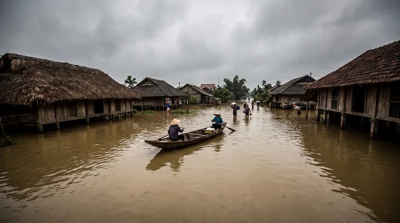
See all →Vietnam Floods
Record 52 Inches of Rain Triggers Deadly Vietnam Floods, Submerging 16,300 Homes
4 sources
Earthquake Mechanics
The Stored Elastic Strain Energy That Causes Earthquakes
8 sources
Climate Litigation
Environmental Coalition Sues EPA Over Repeal of Power Plant Carbon Standards
5 sources
Wildfire Policy
Federal Firefighters Report Critical Resource Shortage and Burnout Amid Record US Wildfire Season
6 sources
Comments
Every angle. Every day.
Get Environment stories with full source coverage and perspective breakdowns, free every day.