
Environmental DNA and Geological Dating Overturn the Clovis First Migration Model
For decades, textbooks taught that the first Americans walked across a land bridge and down an ice-free corridor 13,000 years ago. Modern archaeological and genomic evidence has dismantled that timeline, pointing instead to earlier coastal migrations by boat.

Share this story
In short
- The traditional 'Clovis First' model of a single overland migration 13,000 years ago has been definitively overturned by modern evidence.
- Environmental data proves the inland Ice-Free Corridor was blocked by glaciers and lacked food resources when the first humans arrived.
- The prevailing scientific consensus now supports a coastal migration route via boats along the Pacific Rim.
For generations, the story of how humans first reached the Americas was taught as a straightforward overland sprint. The prevailing narrative held that roughly 13,000 years ago, intrepid mammoth hunters crossed a temporary land bridge from Siberia, marched down a narrow, ice-free corridor through Canada, and rapidly populated a pristine continent. It is a compelling image that dominated archaeology for decades. It is also, according to modern environmental and genomic evidence, physically impossible as the primary migration route.[1][4]
The collapse of the "Clovis First" model begins with the mechanics of the ice itself. During the Last Glacial Maximum, two massive ice sheets—the Laurentide and the Cordilleran—covered most of northern North America. For the inland migration theory to work, a habitable corridor between these sheets had to exist when the first humans arrived. Recent geological dating and environmental DNA analysis have definitively proven that this corridor did not fully open, let alone become biologically viable enough to support human travel, until roughly 12,600 to 13,000 years ago.[2][8]
The mechanism of biological viability is crucial here. A physical gap in the ice is not enough; migrating hunter-gatherers required a landscape capable of sustaining them with flora and fauna. Core samples taken from the corridor's ancient lake beds reveal that the necessary steppe-tundra ecosystem, complete with grazing animals and combustible wood for fires, simply did not exist early enough to facilitate the initial peopling of the continent.[2][8]
This creates an insurmountable paradox for the inland route: humans were already thriving deep in the Americas long before the corridor opened. The most famous early site, Monte Verde in southern Chile, contains undeniable evidence of human occupation dating back at least 14,500 years. If the inland route was blocked by thousands of miles of impassable, sterile ice, the first Americans must have utilized a different pathway entirely.[1][7]
The scientific consensus has consequently shifted to the Coastal Migration Route, often referred to as the "Kelp Highway" hypothesis. This model proposes that early populations traveled by boat along the Pacific Rim, moving from Siberia down the coastlines of Alaska, British Columbia, and eventually South America. Oceanographic data strongly supports this mechanism, showing that while the interior was frozen, the coast offered a continuous, resource-rich marine ecosystem.[3][5]
The mechanics of this coastal journey rely on lower sea levels. During the glaciation period, so much water was locked in ice that global sea levels were roughly 100 meters lower than today. This exposed a vast, continuous continental shelf. Migrants navigating these waters would have found a highly productive kelp forest ecosystem stretching from Japan to Baja California, providing a reliable and familiar food source of fish, marine mammals, and shellfish that required no major technological adaptation to exploit.[3][5]
Genomic evidence aligns perfectly with this coastal model. DNA extracted from ancient remains across the Americas indicates that Indigenous populations diverged from Siberian ancestors and expanded rapidly southward. The genetic branching patterns suggest a swift, multi-directional dispersal that is highly characteristic of maritime movement, rather than the slow, linear progression expected from an overland trek through a narrow terrestrial bottleneck.[7][9]
While the coastal route solves the 14,500-year-old Monte Verde paradox, newer discoveries are pushing the timeline even further back into deep time. In 2021, archaeologists uncovered fossilized human footprints in White Sands, New Mexico. Radiocarbon dating of aquatic plant seeds embedded directly above and below the footprints yielded astonishing dates: between 21,000 and 23,000 years ago, placing humans in North America during the absolute peak of the Last Glacial Maximum.[9]
The White Sands discovery forces a reevaluation of the "windows of opportunity" for migration. If humans were in New Mexico 23,000 years ago, they must have arrived before the ice sheets fully coalesced and blocked the northern routes, or they possessed maritime technology sophisticated enough to bypass the most extreme coastal ice margins. This suggests the peopling of the Americas was not a single event, but a series of complex, staggered pulses over tens of thousands of years.[5][9]
However, the push to extend the timeline has limits, and the evidence for extreme "Pre-Clovis" claims remains highly contested. The most controversial is the Cerutti Mastodon site in California, where researchers claimed that broken mastodon bones and nearby cobbles represent human butchery dating back 130,000 years. If true, this would mean the Americas were populated not by Homo sapiens, but by an earlier hominin species like Neanderthals or Denisovans.[6]
Methodological scrutiny of the Cerutti claim reveals the fragility of extreme deep-time hypotheses. Skeptics point out that the site lacks any actual hominin remains, hearths, or definitively shaped stone tools. Experimental archaeology suggests that the bone fracture patterns attributed to human tools could just as easily have been caused by heavy construction equipment during the site's initial discovery, or by natural geological pressures over millennia.[6][10]
The greatest challenge in resolving these competing models is the physical erasure of the evidence. Because the primary migration route was coastal, and sea levels have risen dramatically since the end of the Ice Age, the earliest campsites, boat remnants, and coastal settlements are now submerged under hundreds of feet of ocean water. Archaeologists are effectively searching for the inland fragments of a predominantly maritime story.[3][10]
Ultimately, the evidence pack points to a synthesized reality. The Americas were likely populated by multiple waves of migration. The earliest arrivals almost certainly utilized boats to navigate a coastal kelp highway long before 15,000 years ago. Later populations, including those who manufactured the famous Clovis stone tools, likely utilized the inland Ice-Free Corridor once it finally thawed, layering new migrations over an already inhabited continent.[1][4][10]
Jargon, explained
- Clovis First
- The formerly dominant archaeological theory positing that the first humans in the Americas arrived overland roughly 13,000 years ago, characterized by distinct fluted stone tools.
- Ice-Free Corridor
- A hypothetical inland route between the Laurentide and Cordilleran ice sheets that was once believed to be the primary pathway for early human migration.
- Kelp Highway Hypothesis
- The theory that early humans traveled by boat along the Pacific Rim, sustained by highly productive kelp forest ecosystems.
- Last Glacial Maximum
- The period roughly 20,000 to 26,000 years ago when global ice sheets reached their greatest extent, significantly lowering sea levels.
Competing readings
Coastal Migration Proponents
Researchers who argue the Pacific Rim offered the only viable early pathway into the Americas.
This camp relies heavily on oceanographic modeling and the biological limitations of the inland ice sheets. They argue that while the interior of North America was a frozen, sterile wasteland, the coastlines offered a continuous 'Kelp Highway' rich in marine resources. Because sea levels were significantly lower during the Last Glacial Maximum, these researchers point out that the lack of early coastal archaeological sites is not an absence of evidence, but rather a result of those sites now being submerged under 100 meters of ocean water. They view the genetic divergence of Indigenous populations as indicative of a rapid, maritime-assisted expansion.
Deep-Time Advocates
Scientists pushing the timeline of human arrival back into the peak of the Last Glacial Maximum or earlier.
Driven by discoveries like the White Sands footprints, this perspective challenges the idea that humans waited for ice sheets to recede before entering the Americas. They argue that populations may have arrived 20,000 to 30,000 years ago, either by navigating the coast before the ice fully coalesced or by surviving in isolated, ice-free refugia. This camp is comfortable with the idea of 'failed' migrations—early populations that reached the Americas but eventually died out or were genetically absorbed by later, larger waves of migrants.
Skeptical Methodologists
Archaeologists who demand rigorous, multi-layered proof before accepting paradigm-shifting claims of extreme antiquity.
While generally accepting the pre-Clovis coastal migration model, this group serves as the discipline's immune system against overreach. They are highly critical of extreme claims, such as the 130,000-year-old Cerutti Mastodon site. They argue that broken bones and rocks are not sufficient evidence of human presence without corroborating data like hearths, definitive stone tools, or hominin remains. They emphasize that natural geological processes, animal trampling, or modern construction equipment can mimic the signs of ancient human butchery, requiring extraordinary evidence for extraordinary claims.
- Coastal Migration Proponents
- Argue that the earliest viable route was maritime, utilizing the resource-rich Pacific coastline while the interior was blocked by ice.
- Deep-Time Advocates
- Focus on emerging evidence like the White Sands footprints to push the timeline of human arrival back to 20,000 years ago or earlier.
- Skeptical Methodologists
- Demand rigorous, undeniable proof for extreme antiquity claims, frequently challenging the interpretation of ambiguous sites like Cerutti.
Perspectives this story doesn't cover
- Indigenous Oral Histories
- Underwater Archaeologists
Sources
Source coverage
10 outlets
3 viewpoints surfaced








- [1]ResearchGateDeep-Time Advocates
After Clovis-First collapsed: reimagining the peopling of the Americas
Read on ResearchGate → - [2]PNASCoastal Migration Proponents
The age of the opening of the Ice-Free Corridor and implications for the peopling of the Americas
Read on PNAS → - [3]OceanographyCoastal Migration Proponents
An Oceanographic Perspective on Early Human Migrations to the Americas
Read on Oceanography → - [4]PNASCoastal Migration Proponents
Peopling of the Americas
Read on PNAS → - [5]PNASCoastal Migration Proponents
Windows of opportunity for the peopling of the Americas
Read on PNAS → - [6]AntiquitySkeptical Methodologists
Evaluating claims for an early peopling of the Americas: experimental design and the Cerutti Mastodon site
Read on Antiquity → - [7]ScienceCoastal Migration Proponents
Early human dispersals within the Americas
Read on Science → - [8]Imperial College London
Ice-free corridor opened too late to be population route for the Americas
Read on Imperial College London → - [9]The ScientistDeep-Time Advocates
New Evidence Complicates the Story of the Peopling of the Americas
Read on The Scientist → - [10]Factlen Editorial TeamSkeptical Methodologists
Synthesis by Factlen editorial team
Read on Factlen Editorial Team →

More in Science
See all →Steppe Archaeology
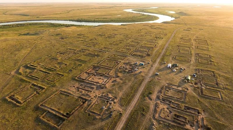
Massive 3,600-Year-Old City Found on Kazakh Steppe, Overturning Theory of Nomadic Bronze Age Society
6 sources
Amazonian Archaeology
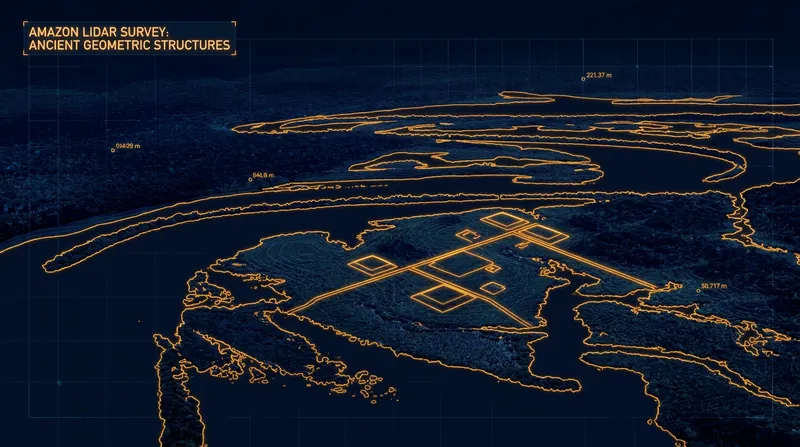
Lidar Reveals 2,500-Year-Old Urban Network in Amazon, Overturning Dogma of Primitive Early Societies
3 sources
Hominin Evolution
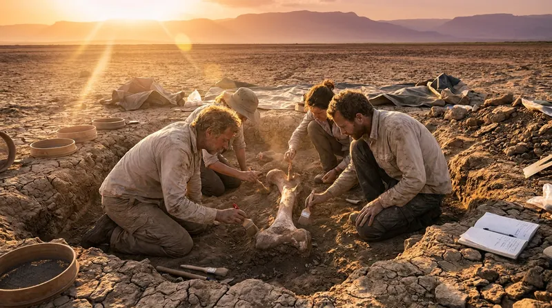
2.8-Million-Year-Old Fossils Show Early Homo Coexisted With Australopithecus
4 sources
Human Evolution
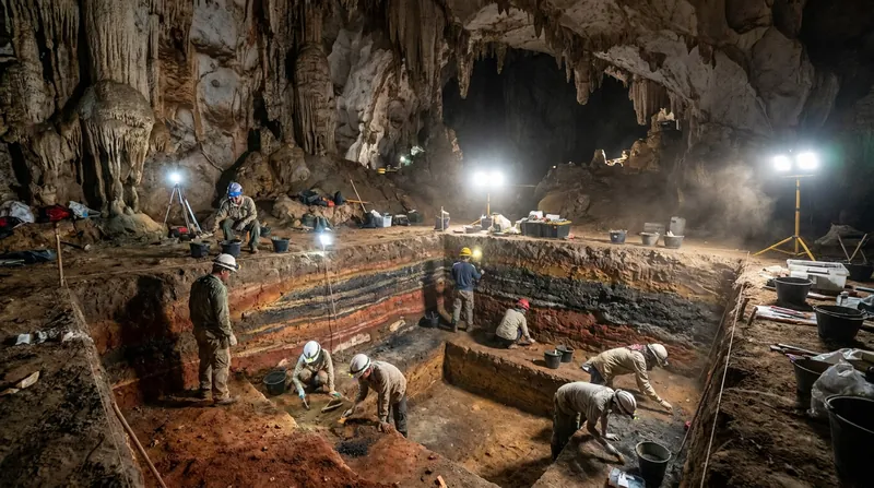
Excavations on Sulawesi Reveal Archaic Hominin Lineage Coexisted with Homo sapiens for Millennia
2 sources
Comments
Every angle. Every day.
Get Science stories with full source coverage and perspective breakdowns, free every day.