
California Coast Faces Widespread Flooding as Record-Breaking Tides Inundate Shorelines
Exceptionally high tides have triggered widespread coastal flooding across California, pushing water levels to record heights in San Francisco and prompting advisories from San Diego to Oxnard. The inundation is expected to persist through Thursday, testing the resilience of coastal infrastructure.
By Layla Zaher

Share this story
Water breached the seawalls along San Francisco's Embarcadero and flooded low-lying intersections in Southern California on Tuesday, October 27. An exceptional tidal event pushed sea levels to record heights, prompting the National Weather Service to extend coastal flood advisories across more than 500 miles of shoreline from San Diego to the Bay Area.[5][7]
The inundation stems from a convergence of astronomical alignments and elevated ocean temperatures, generating what meteorologists describe as record-breaking king tides. These extreme water levels are expected to batter the state's shoreline through Thursday, October 29, testing the limits of municipal infrastructure.[6][7]
In San Francisco, the morning high tide set a new local record, overtopping bulkheads and forcing public works crews to deploy sandbags around transit entrances. The sheer volume of water moving into the bay overwhelmed standard drainage systems designed for typical winter swells.[5]
The Los Angeles Times reported that the coastal situation is "likely to get worse before it gets better" as the tidal cycles progress. The peak water levels are coinciding with morning commute hours, maximizing the disruption to coastal highway corridors and local businesses.[2]
Southern California Impacts
Southern California communities are facing a second consecutive day of severe inundation, with water pooling across the Pacific Coast Highway. Local emergency management teams have prepositioned pumps in historically vulnerable neighborhoods to mitigate the saltwater intrusion.[3][4]
The Los Angeles and Oxnard forecast areas remain under strict flood alerts, as the ocean pushes past the berms constructed earlier this month. Residents in low-lying coastal zones have been advised to move vehicles to higher ground and secure loose property.[7][8]
The Guardian noted that communities are bracing for "record-breaking tides" that threaten to overwhelm standard defenses. The sustained high water prevents gravity-fed storm drains from emptying into the ocean, causing urban runoff to back up into streets.[3]
The structural integrity of coastal defenses is being actively monitored, particularly where erosion has already narrowed the protective beach buffers. Public works departments are operating heavy machinery to reinforce sand berms between the 12-hour tidal cycles.[1][8]
The Mechanics of the Surge
King tides occur when the gravitational pulls of the moon and sun align while the moon is at its closest point to Earth. This week's event is amplified by lingering thermal expansion in the Pacific Ocean, which raises the baseline water level before the tide even rolls in.[2][6]
Oceanographers note that these astronomical tides provide a direct preview of what everyday high tides will look like in the coming decades. The current water levels match the projected baseline sea level for the California coast by the year 2050.[3]
Tide gauges recorded anomalies exceeding 1.2 feet above the predicted astronomical tide in several locations along the coast. This extra volume of water transforms a manageable high tide into a destructive flooding event that breaches established containment lines.[5][6]
Coastal infrastructure, from wastewater treatment plants to electrical substations, was largely engineered for the sea levels of the 20th century. The current inundation is testing the operational limits of these facilities, forcing operators to activate emergency bypass protocols.[1][3]
Infrastructure Under Stress
The economic toll of the flooding is mounting as businesses along the waterfront are forced to close their doors during the peak morning hours. Saltwater intrusion into commercial properties requires extensive remediation to prevent long-term structural degradation and mold growth.[4][8]
Transportation networks are experiencing compounding delays, with sections of the Pacific Coast Highway reduced to a single lane for a 4-mile stretch. Highway crews are continuously clearing debris and pumping water, but their efforts are repeatedly erased by the next incoming tide.[1][4]
The strategy for many coastal municipalities has shifted from preventing the water from entering to managing its retreat. Emergency responders are focused on minimizing the structural damage left behind once the saltwater drains back into the ocean.[1]
Environmental agencies are also tracking the ecological impact, as the saltwater surge inundates coastal wetlands and estuaries. The sudden shift in salinity can disrupt local marine habitats and overwhelm the natural filtration capacity of the marshlands.[3][7]
Long-Term Adaptation
Municipal governments are using the current flooding as a stress test for their climate adaptation plans. The data collected this week will dictate where future seawalls are elevated and which low-lying infrastructure may need to be relocated entirely.[2][8]
The California Coastal Commission has increasingly pushed local jurisdictions to consider managed retreat for the most vulnerable parcels. However, property owners fiercely oppose policies that would abandon prime real estate, where median home prices exceed $2.5 million, to the encroaching ocean.[1][3]
State legislators are observing the response efforts closely, as the cost of coastal defense continues to escalate. Funding for seawall reinforcement and pump station upgrades is expected to be a major point of contention in the upcoming 2027 budget cycle.[2][4]
Key points
- Record-breaking king tides have inundated California's coastline, setting new high-water marks in San Francisco and triggering flood advisories through Thursday.
- The extreme water levels are overwhelming standard drainage systems and forcing closures along major transportation corridors, including the Pacific Coast Highway.
- Oceanographers attribute the severe flooding to a combination of astronomical alignments and elevated Pacific Ocean temperatures raising the baseline sea level.
- Municipalities are utilizing the inundation as a real-world stress test to evaluate the resilience of coastal infrastructure against projected future sea conditions.
What we don’t know
- The total economic cost of the property damage and business closures resulting from the multi-day flooding event.
- Whether the structural integrity of older seawalls and bulkheads has been permanently compromised by the sustained hydrostatic pressure.
- How state legislators will adjust funding allocations for coastal defense projects in response to the exposed vulnerabilities.
- Specific damage estimates and direct operational quotes from local emergency directors remain sparse as active response efforts continue.
How we got here
Oct 24, 2026
Forecasters issue warnings for exceptionally high tides expected to swamp the California coast.
Oct 26, 2026
Water levels begin breaching coastal defenses in Southern California, prompting widespread flood advisories.
Oct 27, 2026
San Francisco records a new high tide record as inundation forces road closures and emergency pumping operations statewide.
Oct 29, 2026
The extreme tidal cycles are projected to subside, allowing municipalities to begin full damage assessments.
- Municipal Planners
- Focus on the need to upgrade infrastructure and use these events as a baseline for future sea-level rise adaptation.
- Coastal Property Owners
- Emphasize the immediate economic damage, property risk, and the need for stronger physical defenses rather than managed retreat.
- Environmental Scientists
- Highlight the compounding effects of astronomical tides and thermal expansion, warning of ecological disruption to coastal wetlands.
Perspectives this story doesn't cover
- Insurance Industry Analysts
- Marine Wildlife Conservationists
Sources
Source coverage
8 outlets
3 viewpoints surfaced






- [1]Los Angeles TimesMunicipal Planners
SoCal coast hit by widespread flooding as record-breaking tides move in
Read on Los Angeles Times → - [2]Los Angeles TimesMunicipal Planners
Exceptionally high tides will swamp California, 'likely to get worse before it gets better'
Read on Los Angeles Times → - [3]The GuardianMunicipal Planners
Southern California prepares for flooding amid forecast of 'record-breaking tides'
Read on The Guardian → - [4]CBS NewsCoastal Property Owners
Second day of potentially record-breaking king tides expected to batter Southern California coastal communities
Read on CBS News → - [5]CBS NewsCoastal Property Owners
Coastal Flood Advisory extended; San Francisco high tide sets record
Read on CBS News → - [6]FOX WeatherCoastal Property Owners
Record tidal flooding inundates California coast, expected to last through Thursday
Read on FOX Weather → - [7]The WatchersEnvironmental Scientists
Coastal flood alerts remain in effect across the San Diego, Los Angeles/Oxnard and San Francisco forecast areas through Thursday, October 29
Read on The Watchers → - [8]DredgeWireEnvironmental Scientists
Southern California coastal flood advisory issued as record high tides loom
Read on DredgeWire →

More in Environment
See all →Fluid Dynamics
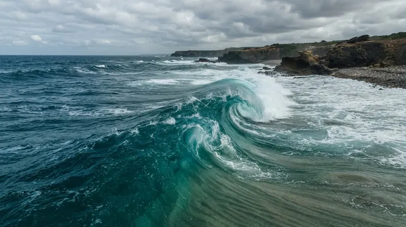
Bathymetric Shoaling and Seafloor Friction Turn Open-Ocean Tsunamis Into Destructive Shoreline Surges
4 sources
Transboundary Pollution
Singapore Weighs Legal Action Against Indonesian Firms as Wildfire Haze Turns Deadly
11 sources

Fire Behavior
Wildfire Spread Rates Double Every 10 Degrees of Incline as Flame Tilt Drives Convective Preheating
4 sources
Coriolis Effect
Zero Coriolis Force at the Equator Lets Inflowing Winds Fill Low-Pressure Centers Before Cyclones Can Spin Up
7 sources

Comments
Every angle. Every day.
Get Environment stories with full source coverage and perspective breakdowns, free every day.