
How Temperature Gradients and Weak Snowpack Layers Cause Slab Avalanches
While modern safety gear has revolutionized mountain travel, the true mechanics of avalanche survival rely on understanding the hidden architecture of snow. By decoding temperature gradients, weak layers, and slope angles, backcountry travelers can shift from relying on rescue to mastering avoidance.
By Baran Demir

Share this story
In short
- Dry slab avalanches require a cohesive slab of snow resting on top of a fragile weak layer.
- Weak layers are primarily formed by temperature gradients that transform snow into angular facets or feathery surface hoar.
- Avalanches predominantly occur on slopes with an angle between 30 and 45 degrees.
You stand at the top of a pristine, untracked bowl, the morning sun illuminating a perfect canvas of powder. The tension of backcountry travel lies right here: the surface looks inviting, uniform, and stable, yet the reality beneath your skis is a chaotic, fragile architecture of competing ice crystals.
For decades, the mountain community debated whether safety came from better rescue technology or deeper snow science. Today, the consensus has resolved that tension: true safety is not about surviving a slide, but understanding the hidden mechanics of the snowpack well enough to never trigger one.[7]
To the untrained eye, snow is simply frozen water that accumulates over the winter. But to an avalanche forecaster, a snowpack is a living, breathing historical record of the season's weather. Every storm, every sunny afternoon, and every sub-zero night leaves a distinct layer, creating a complex stratigraphy that dictates the stability of the entire mountain.[5]
The most dangerous avalanches—dry snow slab avalanches—do not happen because a single layer of snow is heavy. They happen because a strong, cohesive layer of snow, known as the slab, rests on top of a fragile, poorly bonded layer. When that weak layer collapses, the slab shatters like a pane of glass and slides down the bed surface.[1]
How do these weak layers form? The answer lies in temperature gradients. When the ground is relatively warm, hovering near freezing, and the air above the snow is bitterly cold, water vapor moves rapidly upward through the snowpack. This invisible migration of moisture fundamentally alters the structure of the snow.[3]
As this vapor travels, it reshapes the snow crystals it encounters. The beautiful, interlocking arms of fresh snowflakes are stripped away, replaced by angular, blocky crystals known as facets. This process, driven entirely by temperature differences, turns cohesive snow into something resembling coarse sugar.[5]
Facets are the ball bearings of the backcountry. Because of their angular shape, they cannot bond well with one another. When a heavy slab of new snow falls on top of a layer of facets, the entire structure becomes a house of cards waiting for a trigger. The weight of the overlying snow is supported by a foundation that has zero structural integrity.[3]
Another notorious weak layer is surface hoar. Picture the frosty, feathery ice crystals that form on your car windshield on a clear, cold night. The exact same process happens on the surface of the snow when clear skies allow the snowpack to radiate heat into the atmosphere, causing moisture in the air to sublimate directly into delicate ice feathers.[4]
If a new storm buries that delicate surface hoar before the sun or wind can destroy it, those feathery crystals become a persistent weak layer. They can linger for months, standing upright like microscopic wine glasses, waiting to collapse under the weight of a skier, snowboarder, or snowmobiler.[2]
But a weak layer alone is not enough to create an avalanche. The terrain itself must be steep enough to allow gravity to overcome friction. This brings us to the most critical number in avalanche science: 30 degrees. Below this angle, the friction between the snow layers is generally too great for a slab to slide, even if the weak layer collapses.[1]
Avalanches rarely happen on slopes less steep than 30 degrees, because there is not enough gravitational pull to initiate the slide. Conversely, slopes steeper than 45 degrees tend to shed snow constantly during storms, preventing deep, dangerous slabs from building up in the first place.[6]
The sweet spot for avalanche formation—and the exact angle of the most alluring ski terrain—lies between 30 and 45 degrees. When a skier steps onto a 38-degree slope with a buried weak layer, their weight acts as the final stressor, initiating a failure in the fragile crystals below.[1]
The collapse of the weak layer happens in a fraction of a second, often accompanied by a terrifying, deep "whumpf" sound that reverberates through the snow. This fracture propagates outward at the speed of sound, shattering the bonds holding the slab in place across the entire slope.[5]
Once the slab breaks free, it shatters into blocks and accelerates down the mountain, entraining more snow and gaining immense destructive power. A dry slab avalanche can reach speeds of 80 miles per hour within seconds, generating enough force to snap mature trees and destroy concrete structures.[1]
For years, backcountry travelers relied heavily on digging snow pits to test these layers. However, recent large-scale validations of snowpack simulations reveal a sobering truth: snowpack properties are highly variable across even a single slope, driven by wind loading, solar radiation, and micro-terrain features.[2]
A pit dug in one location might show perfectly stable snow, while a spot just ten feet away hides a hair-trigger weak layer. This spatial variability means that localized testing, while informative, is inherently flawed as a standalone safety measure for an entire basin.[4]
Because we cannot X-ray the entire mountain, the most evidence-based avoidance strategy shifts from snowpack analysis to strict terrain management. If the avalanche forecast indicates buried weak layers, the only mathematically guaranteed safety mechanism is keeping your skis on slopes gentler than 30 degrees and staying out from underneath steeper terrain.[6]
Modern forecasting centers now use advanced GIS-based spatial modeling to predict where these dangerous combinations of slope angle and weak layers exist. By combining weather data, terrain analysis, and field observations, they issue daily bulletins that serve as the backcountry traveler's most vital planning tool.[6]
Ultimately, the science of avalanches teaches us humility. The mountains do not care about our expertise, our desires, or our expensive airbags. By understanding the physical mechanics of snow and respecting the rigid mathematics of slope angles, we can experience the profound beauty of the winter backcountry on its own terms, returning safely to the trailhead every time.[7]
How we did this
- Method
- A cross-study synthesis of slope-angle vulnerability and spatial variability to determine the exact threshold where terrain management becomes the primary survival tool over snowpack analysis.
- What we found
- Because snowpack variability renders localized pit tests statistically insufficient for basin-wide safety, strict slope-angle avoidance (staying below 30 degrees) is the only mathematically reliable avoidance strategy in unmitigated backcountry terrain, superseding traditional snowpack analysis for recreational travelers.
- What we worked from
- Critical slope angle for dry snow slab avalanche release (typically 30°–45°): 30 to 45 degrees — MDPI
- Spatial variability of snowpack properties making point-tests unreliable: High spatial variability — Cold Regions Science and Technology
- Limits of this analysis
- This synthesis applies to dry slab avalanches in unmitigated backcountry terrain and does not account for wet loose avalanches or extreme warming events where lower-angle terrain can be overrun by massive slides originating from above.
Key terms
- Slab
- A cohesive layer of snow that is relatively well-bonded, which can break away and slide as a single block during an avalanche.
- Weak Layer
- A fragile layer of snow, often composed of facets or surface hoar, that lacks the structural integrity to support the slab above it.
- Facets
- Angular, blocky snow crystals formed by temperature gradients within the snowpack, notorious for their inability to bond together.
- Surface Hoar
- Feathery ice crystals that form on the surface of the snow during clear, cold nights, creating a dangerous weak layer when buried by subsequent storms.
- Propagation
- The rapid spread of a fracture through a weak layer, which disconnects the slab from the bed surface and initiates the avalanche.
- Terrain Trap
- A topographical feature, such as a gully, creek bed, or cliff, that increases the consequences of being caught in an avalanche by causing snow to pile up deeply or forcing a traumatic fall.
Reader questions
Can loud noises like shouting trigger an avalanche?
No. The idea that a loud noise can trigger an avalanche is a myth. It takes localized physical force, such as the weight of a skier, snowmobiler, or a falling cornice, to collapse a buried weak layer.
What is the most dangerous slope angle for avalanches?
The prime danger zone for dry slab avalanches is between 30 and 45 degrees. Slopes gentler than 30 degrees rarely slide, while slopes steeper than 45 degrees tend to shed snow continuously during storms.
Do trees make a slope safe from avalanches?
Not necessarily. Unless the trees are so densely packed that you cannot ski or ride through them, the slope can still avalanche. Open glades often contain the exact slope angles and weak layers found above the treeline.
Why are snow pits no longer considered a guarantee of safety?
Snowpack properties are highly variable. A pit dug in one spot might show stable snow, while a location just ten feet away hides a dangerous weak layer, making localized tests unreliable for basin-wide safety.
Where opinion splits
Avalanche Forecasters' View
Forecasters emphasize macro-level weather patterns and the challenge of communicating regional risk to the public.
For avalanche forecasters, the mountain is a massive data set. They rely on remote weather stations, historical weather patterns, and advanced GIS-based spatial modeling to predict where dangerous combinations of slope angle and weak layers exist. Their primary challenge is not just understanding the science, but translating complex, highly variable spatial data into a daily public bulletin that recreational users can easily interpret and apply to their route planning.
Snow Science Researchers' View
Researchers focus on the micro-mechanics of crystal formation and the physics of fracture propagation.
In the academic realm, the focus shifts to the microscopic level. Researchers study the exact temperature gradients required to form facets and the mechanical properties of surface hoar. By utilizing numerical simulations and controlled experiments, they aim to understand exactly how a fracture propagates through a weak layer at the speed of sound. Their goal is to refine the algorithms used in spatial modeling, ultimately providing forecasters with more accurate predictive tools.
Backcountry Guides' View
Guides emphasize practical terrain management and conservative decision-making over localized snowpack testing.
For professionals leading clients through avalanche terrain, theoretical science must be distilled into practical survival rules. Guides acknowledge that while digging snow pits provides valuable information, the high spatial variability of the snowpack means a pit cannot guarantee safety. Instead, they rely heavily on terrain management—identifying slope angles, avoiding terrain traps, and managing group dynamics to ensure that even if their snowpack assessment is wrong, their terrain choices keep them out of harm's way.
- Avalanche Forecasters
- Focus on macro-level weather patterns, spatial modeling, and communicating regional risk to the public.
- Snow Science Researchers
- Focus on the micro-mechanics of crystal formation, temperature gradients, and the physics of fracture propagation.
- Backcountry Guides
- Emphasize practical terrain management and conservative decision-making over localized snowpack testing.
Perspectives this story doesn't cover
- Recreational Backcountry Skiers
- Search and Rescue Operators
Sources
Source coverage
7 outlets
3 viewpoints surfaced






- [1]MDPIAvalanche Forecasters
Dynamic Process of Dry Snow Slab Avalanche Formation: Theory, Experiment and Numerical Simulation
Read on MDPI → - [2]Natural Hazards and Earth System SciencesAvalanche Forecasters
A large-scale validation of snowpack simulations in support of avalanche forecasting focusing on critical layers
Read on Natural Hazards and Earth System Sciences → - [3]Reviews of GeophysicsSnow Science Researchers
Formation of refrozen snowpack layers and their role in slab avalanche release
Read on Reviews of Geophysics → - [4]Cold Regions Science and TechnologySnow Science Researchers
Review of spatial variability of snowpack properties and its importance for avalanche formation
Read on Cold Regions Science and Technology → - [5]Science NewsSnow Science Researchers
The science of avalanches
Read on Science News → - [6]MDPIAvalanche Forecasters
GIS-Based Spatial Modeling of Snow Avalanches Using Analytic Hierarchy Process. A Case Study of the Šar Mountains, Serbia
Read on MDPI → - [7]Factlen Editorial TeamBackcountry Guides
Synthesis by Factlen editorial team
Read on Factlen Editorial Team →
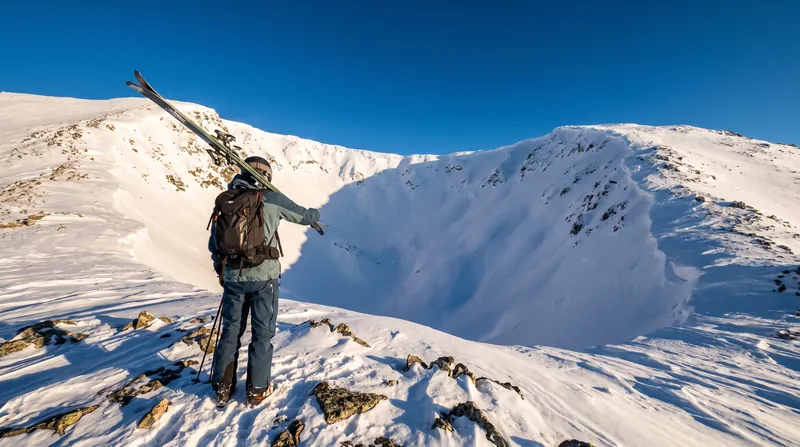
More in Travel
See all →Climbing Grades
The 5.12 Grade: How the Yosemite Decimal System Actually Rates Technical Climbing Difficulty
5 sources
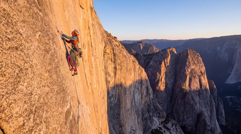
Altitude Acclimatization
The 1,000-Foot Rule: The Maximum Daily Sleeping Elevation Gain That Prevents Acute Mountain Sickness
8 sources
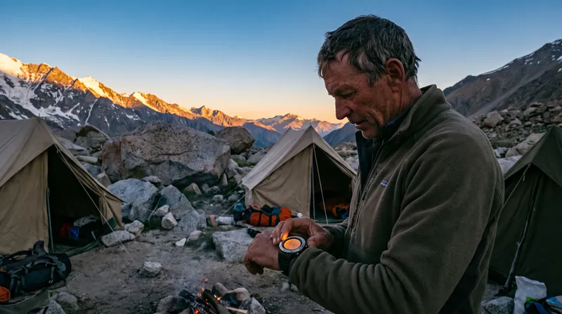
Gear Science
The Fill Power Number: How the Volume of Down, Not Its Weight, Determines a Sleeping Bag's Warmth Rating
5 sources
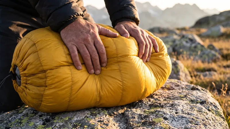
High-Altitude Physiology
The 7,000-Meter Threshold: Why Supplemental Oxygen Becomes Medically Necessary for Most Climbers in the Death Zone
3 sources
Comments
Every angle. Every day.
Get Travel stories with full source coverage and perspective breakdowns, free every day.